
A warm front is passing by with clouds, then some sun, and also a few powerful thunderstorms.
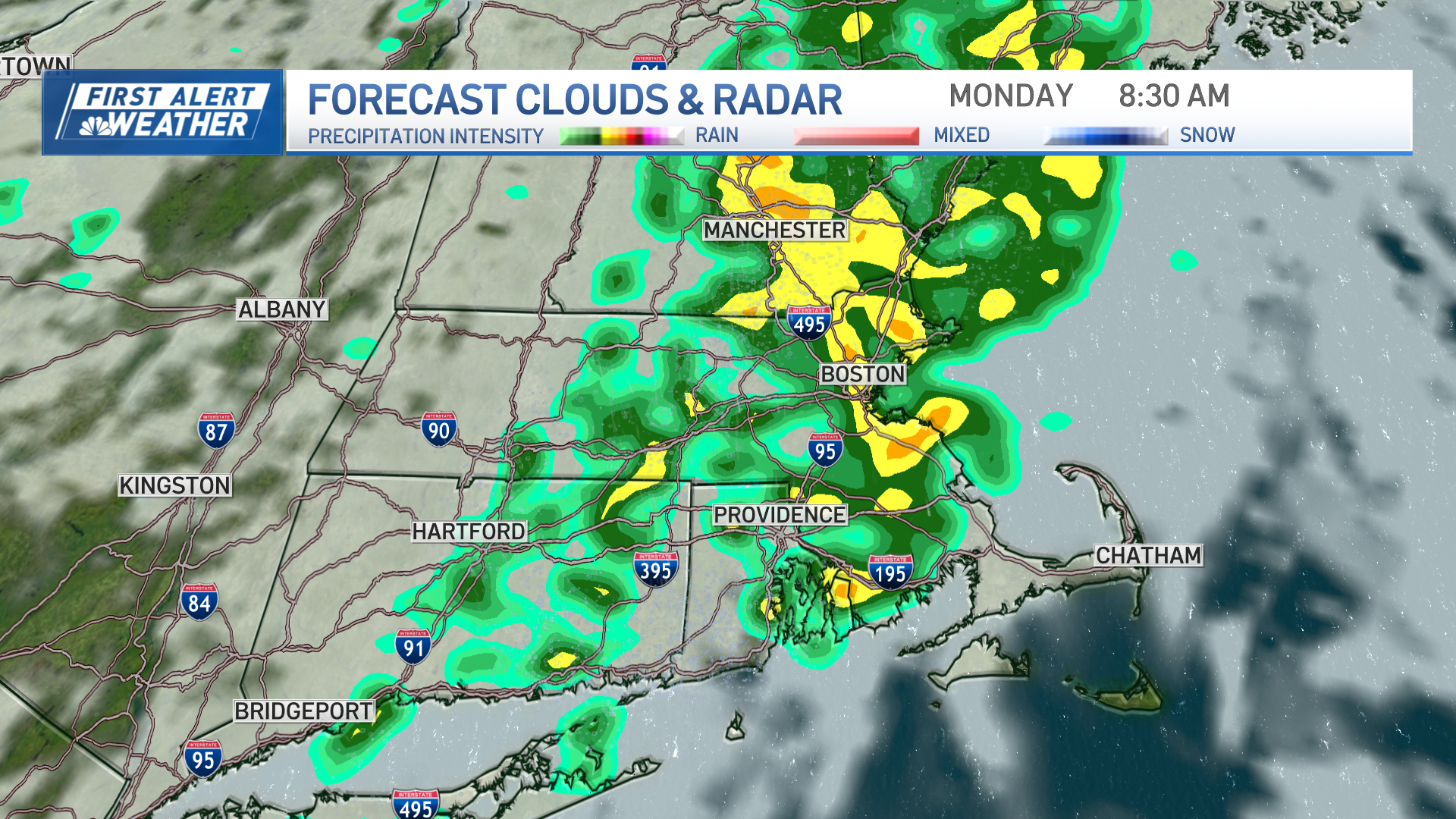
The return of high humidity and the warm-to-hot weather begins this morning as a warm front moves from the south coast into central and northern New England as the day goes on. Along the warm front, we have light showers with fog and drizzle early, while temperatures start near 70 degrees.
[NATL] Extreme Weather Photos: Record Heat Threatens Europe
Wind is from the south at 10 to 20 mph, with stronger gusts near the south coast. Any thunderstorms that become strong to severe could have gusts past 55 mph. Most of the time and in most of the area it is not raining, but when it rains it can really pour, with localized flash flooding possible late in the day.
The temperature will be in the 80s.
Wednesday night remains mostly cloudy with patchy dense fog. Still, a few showers or thunderstorms are possible and low temperatures will be in the low 70s.
A little bit more in the way of sunshine Thursday allows the temperature to reach 90 degrees. Still, some scattered afternoon thunderstorms are likely. It will be very humid with the dew point in the 70s.
Local
In-depth news coverage of the Greater Boston Area.

More of the same for Friday and Saturday. There will be a little bit more in the way as cloudiness with a chance of a shower and storms are in our near future. Temperatures will be in the 80s to 90 degrees.
Perhaps it will be a bit less humid Sunday and Monday, but still the same pattern. Expect sun and storms with temperatures near 90 degrees.