
August is picking up where July left off—warm and occasionally stormy.
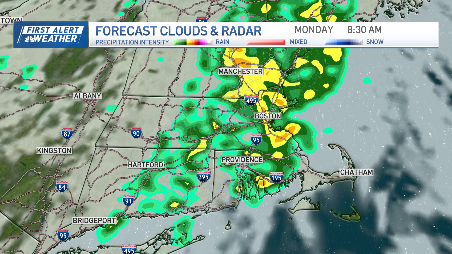
Increasing clouds on Wednesday will eventually give way to developing downpours and thunderstorms, especially north and west of Boston. The storm threat is highest from Connecticut and Western Massachusetts, across into parts of the Merrimack Valley, Southern New Hampshire, and Southern Maine.
Localized street flooding from heavy rain is the most widespread risk with Wednesday’s storms, but isolated wind damage is also likely where the storms develop.
Highs will reach around 80 degrees with building humidity as well.
Thursday, Friday, and even the weekend is even warmer. Highs will pop higher into the 80s, and even close to 90, during that time. It will feel even warmer with very high humidity.
Timeline, Projections: A Stormy End to the Week
Local
In-depth news coverage of the Greater Boston Area.

Each day will continue to have the risk of pop up downpours or storms, but no day will be anywhere close to a washout. Most spots will be dry most of the time.
The risk of a passing storm will continue to be highest north and west of Boston, and lowest south and east of Boston.
There are some signs that next week the pattern breaks a bit, with the storm threat diminishing.