
We have a had a break from the heat for most of this week, but warmer temperatures return as soon as Sunday and will stay through Wednesday.
A persistent east flow will continue to keep cool temperatures on the coast this evening and areas of fog or stratus roll in and out across the outer Cape Cod and Nantucket.
Inland, more sunshine will subside to cloud cover overnight and developing fog as lows dip to the 50s and 60s.
Saturday morning will be a foggy and cloudy start, with more of the clouds lingering during the afternoon. Highs will be in the mid to upper 70s for Clear The Shelters. A shortwave approaches northwestern New England, and will trigger scattered showers and storms.
A wave of energy could help to provide more lift overnight Saturday so we increase our storm chances a bit for interior New England.
Fog again is possible Sunday morning, while clearing is found inland. The Falmouth Road Race will be muggy and foggy in the morning, with some sun breaking out after. The clouds stabilize the air mass and so the Cape will avoid rain.
Local
In-depth news coverage of the Greater Boston Area.

Highs will be warmer in the mid to upper 80s thanks to a southeast, south wind and more sunshine. Scattered storms develop in the afternoon across the interior, where there is more instability expected.
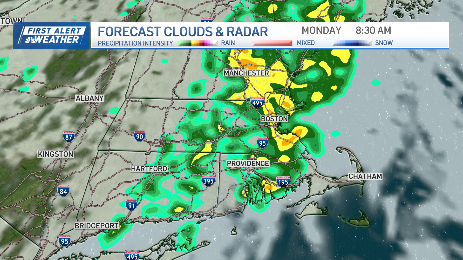
Next week, we will stay active, hot and humid. Highs will be in the low 90s Monday and Tuesday, and possibly Wednesday, which would mean another heat wave.
Afternoon storms and showers stick around each day, while a front moves through mid-week. Temperatures cool and high pressure takes over for the end of next week and through next weekend.