
It may only last one day, but Friday is far and away the best day of the week, with sunshine giving way to increasing wispy, cirrus clouds and high temperature reaching the 60s inland and 50s at the coast — where a gentle breeze develops off the ocean.
Nonetheless, while the weather is quiet in New England on Friday, changes are ahead that will push us back into a showery stretch with a new, large upper atmospheric disturbance similar to the one that impacted us this week —slow-moving, raising the shower chance on several days. Rain moving across the Mid Atlantic Friday isn’t moving fast, but it will continue to make steady progress northeast, spreading thickening clouds over New England Friday afternoon, evening and night, with first, isolated and light showers arriving Saturday morning.
STAY IN THE KNOW
Watch NBC10 Boston news for free, 24/7, wherever you are. |
|
Get Boston local news, weather forecasts, lifestyle and entertainment stories to your inbox. Sign up for NBC Boston’s newsletters. |
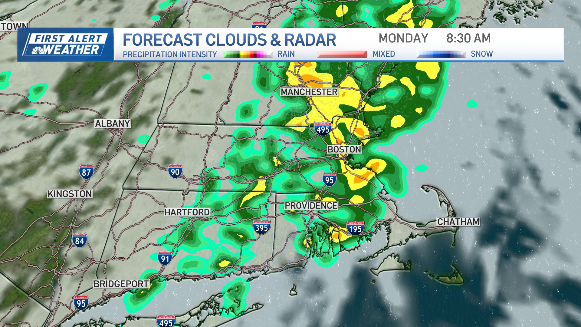
Most outdoor plans Saturday morning will hold up, save for the isolated shower, except in Connecticut, where rain spreads in during middle to late morning. Then, most of southern, central and western New England turns showery for the afternoon. Rain fills in last across Maine late in the day and evening, but rain is expected to last through Saturday night into Sunday morning, before another disturbance arrives on its heels.
Get top local stories in Boston delivered to you every morning. Sign up for NBC Boston's News Headlines newsletter.
While back-to-back disturbances delivering rain on a weekend is unfortunate timing – and rain on a weekend has been the case seven of the last nine weekends dating back to February – there is a benefit for pollen allergy sufferers, as the pollen count will drop dramatically Saturday afternoon and remain low on Sunday.
Sunday likely won’t rain heavily or steadily through much of the day, but showers remain in the forecast. For days, our First Alert Team has seen signals of a lull in rain Sunday, centered either side of midday, and while we still see that indication we think will certainly mean fewer showers and even perhaps a peek of sun in southeast Massachusetts, we still think the onshore wind and returning atmospheric energy aloft by early to mid-afternoon should mean passing showers from time to time, murky fog and low clouds in the hills and mountains and a cool flow of air off the ocean.
Local
In-depth news coverage of the Greater Boston Area.

In southeast Massachusetts, including the Cape and Islands, the southeast breeze may bring not only a lull in showers during the mid-morning to mid-afternoon, but perhaps even a splash of sun to bump temperatures closer to 60 degrees, while the rest of us stay cool.
The next slug of rain arrives later Sunday through Sunday night with an increasing southerly wind gusting to 45 mph near the coast, especially on Cape Cod, but when it departs Monday the sun emerges, a southwest wind increases and temperatures rise well into the 60s, even pushing 70 in spots! That beautiful weather should last all of one day before the energy that drives our weekend rain – a large, jet stream level storm swirling thousands of feet high in the sky – stubbornly shifts east from the Great Lakes and delivers a second week in a row of recurring scattered showers focused especially in the afternoon and relatively cool temperatures.
In fact, by midweek next week there’s enough cold air in the sky that we may even see some snow showers mixing in across the higher terrain of Northern New England! By the end of next week, our exclusive First Alert 10-day forecast shows gradual improvement, and while we still maintain a chance of showers in the afternoon to next Saturday, the number and intensity of them should be waning by then if all sticks to plan.