


From the NBC10 Boston First Alert Weather Center… Tonight: Mostly cloudy. Spotty shower possible. Lows in the 40s and 50s. Monday: Mix sun and clouds. PM showers. Highs in the mid 60s. Tuesday: Mostly sunny. Cooler. Highs in the mid 50s. Cape Cod Forecast Tonight: Mostly cloudy. Pre-dawn showers. Lows around 50. Monday: Mix sun and clouds. PM showers. Highs in the mid 50s. Tuesday: Mostly sunny. Cooler. Highs around 50.
After another spectacular day, temperatures will be cooling off over the coming days.
I wouldn’t be surprised if temperatures Monday overachieved in some communities, as we await the cold front to move through. A couple of showers are possible during the afternoon but most areas will stay dry and our Monday will feature a mixture of sun and clouds.
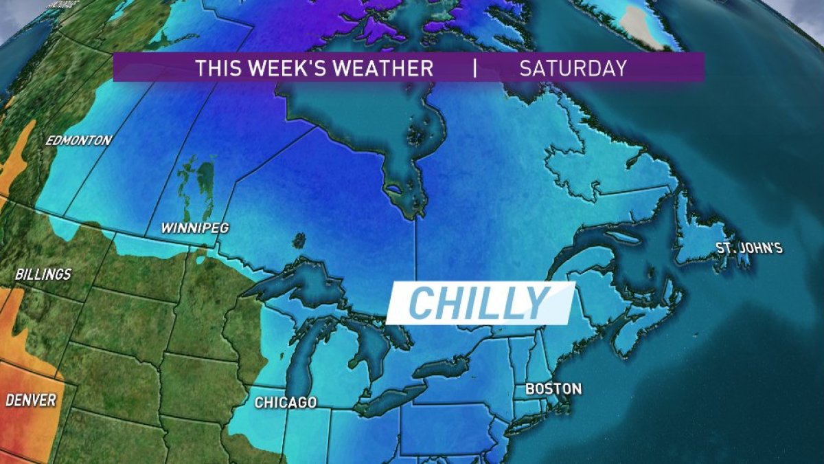
Another cold front will move in Wednesday night into Thursday. Temperatures will drop even more as we head into the weekend. The chilly air mass lags a day. Friday temperatures will still be in the upper 50s. However, for Mother’s Day weekend temperatures tumble into the low 50s for highs, which is about 10° below average for this time of year with overnight lows in the 30s. It’s possible that we could see a widespread frost.
Even after Mother’s Day weekend temperatures stay on the cool side with highs in the mid 50s and overnight lows around 40°. The silver lining is that we won’t see a lot of heavy rain over the next week.

