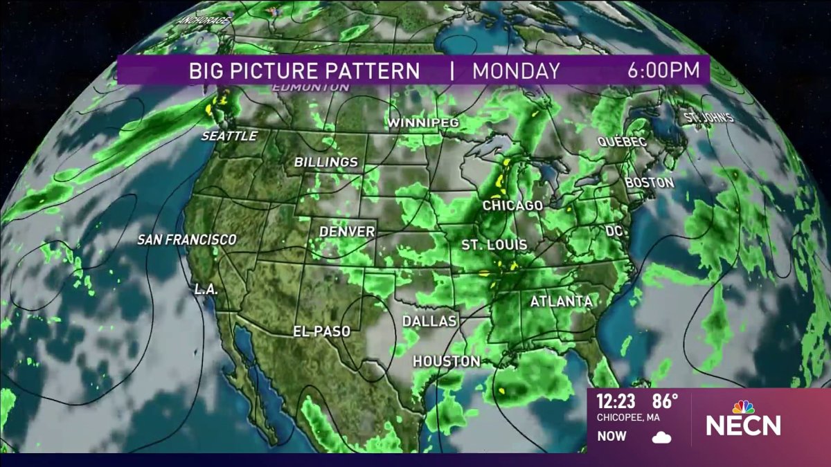
Monday: Humid with a mix of sun and clouds. An isolated storm inland. Highs 85-90 and around 80 at the coast. Monday evening: Patchy fog, temperatures in the mid-60s. Tuesday: Hot with a mix of sun and clouds. Highs around 90.
Temperatures will be slightly cooler on the coast thanks to an eastern breeze and local sea breezes developing. We had thick fog and low clouds across southeastern New England all morning and the clouds are slow to break up.
Where we do see sunshine, temps will be in the upper 70s. If the clouds hang tight at the coast, then we stay in the low 70s. Interior New England will see 80s to low 90s again. More sunshine is expected the farther west you go until late afternoon storms and showers pop up.
Get Boston local news, weather forecasts, lifestyle and entertainment stories to your inbox. Sign up for NBC Boston’s newsletters.
Expect brief heavy downpours, gusty wind, thunder and lightning through sunset. Once the sun sets, we get rid of any storms. The fog and clouds will roll back in overnight at the coast. Lows tonight drop to the 60s and near 70.
Tuesday looks to be a repeat of today, with the chances for pop-up storms and showers inland. Temperatures, however, will be hotter thanks to a more south- southeast wind. At the coast, our highs reach the 80s to near 90, some spots inland could be in the mid 90s with more humidity.
A cold front approaches the northeast Wednesday and this will bring our best chance for widespread rain in quite a while. Scattered showers and storms move through Wednesday afternoon into Thursday, and our humidity will slowly decrease. Highs don't really lower much, as we go from around 90 Wednesday to the mid 80s Thursday.
Friday will be the most comfortable work day with mid 80s and much drier air. Saturday will be cooler with low to mid 80s, and low humidity still. Most of New England remains dry, except for the North Country as storms pop up in the heat of the afternoon. Sunday looks like more scattered rain for all and slightly warmer highs in the mid 80s.
The summer heat is here to stay with another run at 90 possible for the following week.