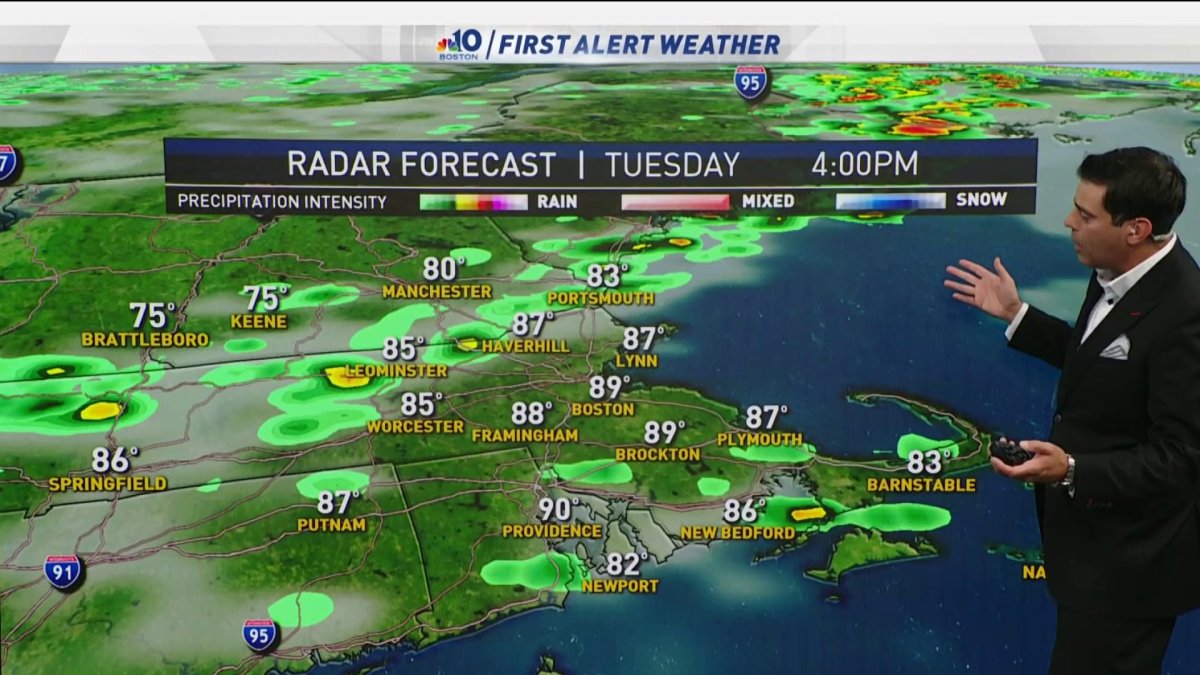
Today: Variable clouds, hot and humid, chance midday shower, scattered PM storms. Highs around 90. Overnight Tuesday: Clearing, fresh breeze. Lows around 60. Wednesday: Invigorating air, fresh breeze, sunny. Highs in the 70s.
Thankfully, yesterday storms missed more than they hit, unlike Sunday.
Today we will be tracking a cold front that's moving in. It’s possible that we could see scattered strong to severe thunderstorms develop during the afternoon. The greatest concentration of severe weather may be south of New England in the mid-Atlantic.
Get Boston local news, weather forecasts, lifestyle and entertainment stories to your inbox. Sign up for NBC Boston’s newsletters.
The air mass that follows will be fall like with temperatures into the 70s for highs for the remainder of the week. As a warm front tries to move in Thursday, it's possible that we could see you some strong to severe storms again in southern New England.
Friday into Saturday we will be watching the remnants of Laura. At this point the steadiest, most beneficial rain may stay in the mid Atlantic.