


Overnight Monday Night: Early sprinkle/flurry, then partial clearing. Lows in the 20s.
Tuesday: Sun to increasing clouds. Evening/night showers. Highs in the 40s.
A powerful ocean storm slowly meandering well southeast of New England still bringing some wintry weather to portions of the region this afternoon.
Bands of snow and rain showers continue to come and go across Eastern New England, accumulating a fresh two to four inches in much of Maine over the course of the day, while measuring less farther south but keeping roads wet into the evening and night across Southeastern NH and Eastern MA, where partial clearing after midnight will mean icy spots needing continued road treatment into dawn Tuesday.
Some sunshine Tuesday will be a nice change of pace, helping temperatures to rebound into the 40s for many, 30s Northern New England, before clouds increase late Tuesday and a quick-moving disturbance aloft delivers some scattered late evening and night rain and snow showers of little consequence to New England. Behind that disturbance, another installment of milder air arrives for midweek with Wednesday forecast high temperatures near 50° in Southern New England and squarely in the 40s for the rest of the six-state region.
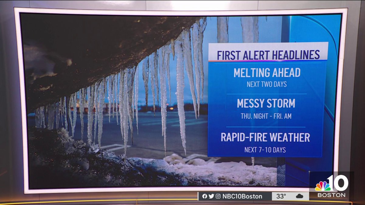
This will make our next storm system – winding up from the Midwest to the Great Lakes Wednesday into Thursday, then redeveloping near Cape Cod Thursday night into Friday – hard pressed to deliver snow to Southern New England, though Ski Country very likely will see accumulating snow Thursday into Friday, with over half of foot expected, and even spots farther south like the Lakes Region of New Hampshire and Southern Maine may get into the accumulating snow zone, as well.
Get Boston local news, weather forecasts, lifestyle and entertainment stories to your inbox. Sign up for NBC Boston’s newsletters.
Behind the late week storm, a shot of cool and dry air will start the weekend out on a fair note, though by late Sunday another energetic system approaches, raising the potential for rain south and snow or rain north. One thing that remains consistent in the First Alert 10-day forecast: the absence of deep winter cold in New England, with the chance of more meaningful cold not rising until the final weekend of the month, by the way it looks to our team right now.

