New England's weekend weather looking good -- the warmest, driest, and brightest so far of 2019.
With our air coming from eastern Canada, the sky is cleaner now as the smoke from western Canada has been diverted to our south & west. The front that went by Thursday is still close enough that we have a few clouds near the south coast, also a weak trough will bring clouds and a sprinkle to northern Maine.
For most of us, however, it’s just a beautiful mid-June day with temperatures climbing to 80 degrees, a light wind means a sea-breeze, a little cooler at the beach.
On the backside of the weak trough passing out of Maine Friday night, a stronger high-pressure system from eastern Canada comes in with a beautiful weekend. Temperatures cool off each night to the 50s south and 40s, even to some 30s north, for sunrise Saturday and Sunday.
But then under sunny skies, we have a sunburn factor of close to a 10 out of 10 Saturday. High temperatures will near 80 degrees and 70 degrees closer at the beach.
Sunday is not much different. Although, there will be a layer of thin clouds coming into western and northern New England during the afternoon. Once again, plenty of sunshine with the temperature close to 80 degrees, 70s at the beach.
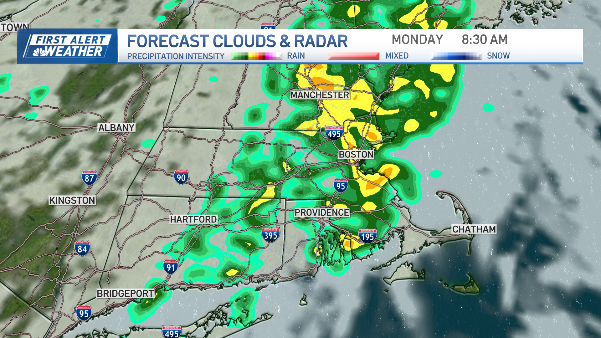
There’s a sprawling low pressure system producing more flooding off to our south and west. Some of that action gets in here later on Monday.
Local
In-depth news coverage of the Greater Boston Area.
We may get a dose of heavier rain late Monday into Tuesday. That’ll bring the temperatures down a little. Stay tuned to our First Alert 10-Day Forecast for the latest developments.


