


From the NBC10 Boston First Alert Weather Center… Today (Wednesday): Rain and freezing rain to late day sun. Highs around 40, 30s north. Overnight Wednesday Night: Cold wind, clear sky. Lows around 20, wind chill single digits. Thursday: Blustery sun to light overnight snow. Highs in the 30s, wind chill 20s. Cape Cod Radio Forecast: Today (Wednesday): Morning sprinkles, early to mid-afternoon showers, late day breaks of sun. Highs around 50. Overnight Wednesday Night: Cold wind, clear sky. Lows around 30, wind chill teens. Thursday: Blustery sun to light overnight snow. Highs around 35, wind chill 20s.
While it was a busy morning, with freezing rain across much of the west and north, our afternoon is now looking much drier and stable.
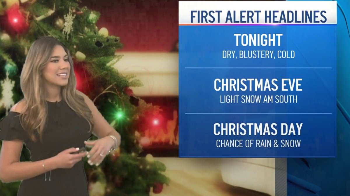
In the far northeast across Maine, we could be adding up to 6 inches of snowfall totals by the end of Wednesday. For the rest of us, blustery conditions will settle in Wednesday night through Thursday, with clear skies along much of the south and radiational cooling that along with the wind will help our feels like temperatures drop into the teens in many spots across the north and west. We’ll see wind gusts from 20 to 30 mph, with isolated areas reaching up to 40 mph.
A brief high pressure system will help bring mostly sunny skies for our Thursday, with weakening wind speeds through midday.
A weak low pressure passing south of New England will allow for some light snow to fall late Thursday night into Friday morning with minimum snowfall accumulations from a coating to an inch.
Get Boston local news, weather forecasts, lifestyle and entertainment stories to your inbox. Sign up for NBC Boston’s newsletters.


A new storm system will bring the chance for rain and snow into much of New England from Christmas Eve night into Christmas Day. Uncertainty remains on the snow/rainfall line, but its picturing to be north of the pike with a light mix making it through central Massachusetts and snow staying north of Route 2. While a mix is possible across some spots in the southern states, our roads will remain somewhat slick for a brief period early Saturday and drier conditions will take over Saturday afternoon south with snow remaining in the north.
We’ll have drier conditions taking over the rest of the weekend before more unsettled weather returns for next week along with highs in the 30s.


