


Today (Monday): Snow & rain showers, blustery wind. Highs in the 30s, wind chill 20s. Overnight Monday Night: Early sprinkle/flurry, then partial clearing. Lows in the 20s. Tuesday: Sun to increasing clouds. Evening/night showers. Highs in the 40s.
A gnarly, intense, gusty ocean storm is still gripping New England on this MLK Day. We’re on the back side of it, but the forecast remains difficult and somewhat uncertain.
Snow bands continue to form and fade through the day. There will be lulls in the snow at times, and as the storm begins to (finally) pull away, we’ll see it taper to snow showers and flurries later this afternoon. Additional accumulations will be light, as the storm isn’t as proficient at creating accumulation as last night. We’re more certain that the winds will slowly wind down as the day progresses. Early gusts may still be near 40+ at the coast, but diminish to 30-35 late day.
Cold temps are still with us, but this chilly batch of air is short-lived. We’ll bounce back as soon as tomorrow as highs leap back to the 40s as the Sun finally returns!
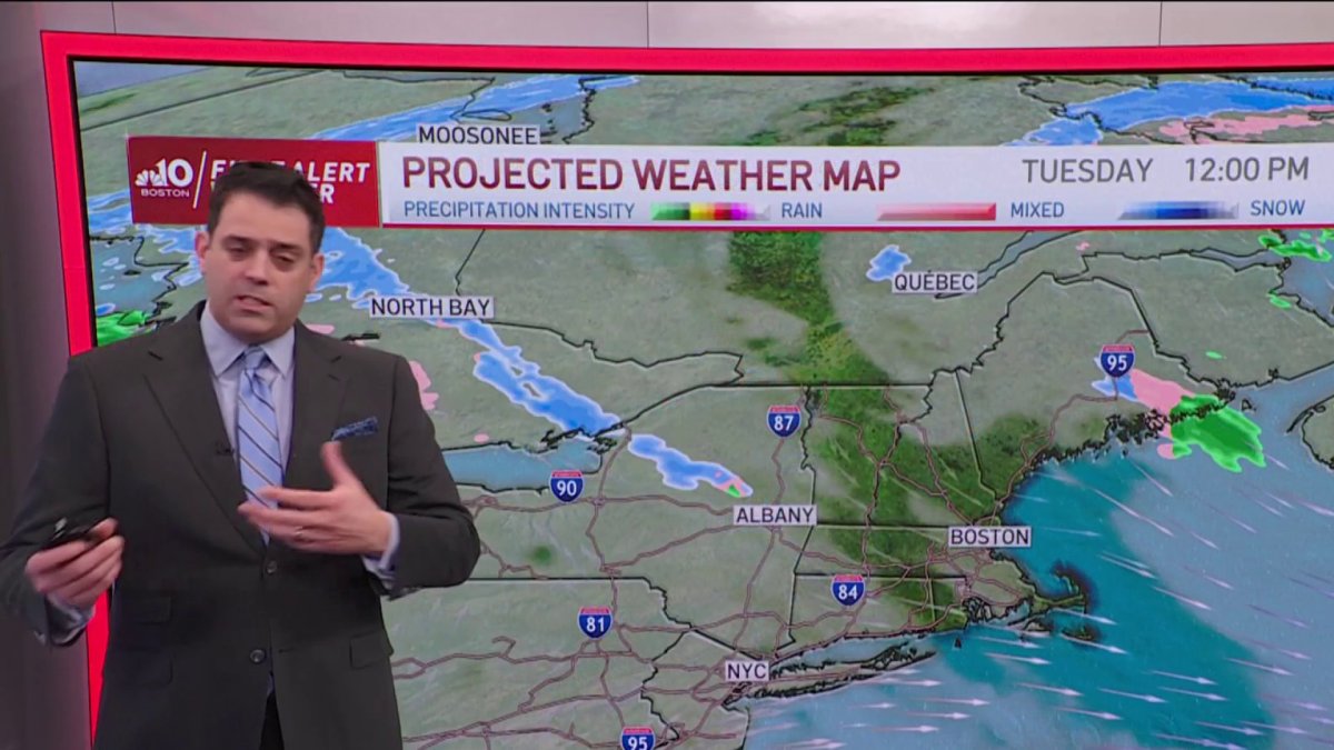
There is more mild air for midweek, before we tackle another storm by Thursday. This one could provide us with some wintry mix before a change to rain. There’s just enough cold air in place away from the coast to give us some snow/sleet/ice at the very onset of the storm. Thereafter, the pattern goes quiet…and slowly colder.
Get Boston local news, weather forecasts, lifestyle and entertainment stories to your inbox. Sign up for NBC Boston’s newsletters.
This could be the start of some bouts of more serious long-range cold as the West Coast dries out and the Midwest and East cool off. We’ll see how it all pans out in the days ahead.

