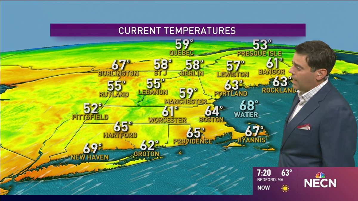
From the NBC10 Boston First Alert Weather Center… Today (Friday): Hot…but not humid, scattered thunder north. Highs 85 to 90. Overnight Friday Night: Partly cloudy. Lows in the 60s. Saturday: A bit more humid, sea breezes, isolated PM thunder. Highs in the 80s. Sunday: Humid, chance PM thunder. Highs near 90. Cape Cod Radio Forecast Today (Friday): Sun filtered through wispy clouds. Highs around 80. Overnight Friday Night: Partly cloudy, a bit more humid. Lows 65 to 70. Saturday: Becoming humid, sun and clouds, slight chance of an isolated late day thunderstorm. Highs 80 to 85. Sunday: Humid and hot. Highs 80 to 85, heat index 85 to 90
Hard to top yesterday. And I'm not thinking we will in the coming days.
That's not to say these aren't great in their own right. We'll stay dry and summer warmth will be returning. For some, we'll be on the verge of a heat wave - mostly away from the sea breeze at the coast. Humidity will slowly rise, but it shouldn't be intolerable.
Only thing missing is rain -- like 6-9 inches of it (not all at once, thank you) to get us out of this horrible drought. Sadly, the storms that may fire today will be solely across northern New England, and the thunder on Sunday will once again be selective and sparing.
Local news coverage
We'll have a few more chances through the middle of next week, however. A front will waver across New England -- at times inviting the sea breeze in at the coast -- and acting as a trigger for afternoon storms each day.
Two tropical systems are on the move. One towards the Bahamas and Florida, the other across the Yucatan and into the western Gulf of Mexico. Both are moving at a speedy 20+ mph and should threaten the United States within hours of each other. Certainly something we'll all be keeping an eye out for for much of next week.