
Friday’s spring storm brought much needed rain and even record snow for Worcester, Massachusetts, where 6.8 inches of snow fell, smashing the previous record of 2.4” set in 1992.
Eastern New England is still feeling the effects of this storm that continues to linger offshore.
STAY IN THE KNOW
Watch NBC10 Boston news for free, 24/7, wherever you are. |
|
Get Boston local news, weather forecasts, lifestyle and entertainment stories to your inbox. Sign up for NBC Boston’s newsletters. |
Spotty rain showers are possible Saturday afternoon with temperatures in the 40s, with a stiff northwest wind, though clouds will rule much of the day. The mountains will continue to see off and on snow showers and light accumulations.
Sunday will start off with clouds over eastern New England and sunshine to our west but with daytime heating, clouds will increase in the afternoon and a few showers will develop, as well.
Get top local stories in Boston delivered to you every morning. Sign up for NBC Boston's News Headlines newsletter.
Highs Sunday will be a bit warmer in the low 50s and less wind, too.
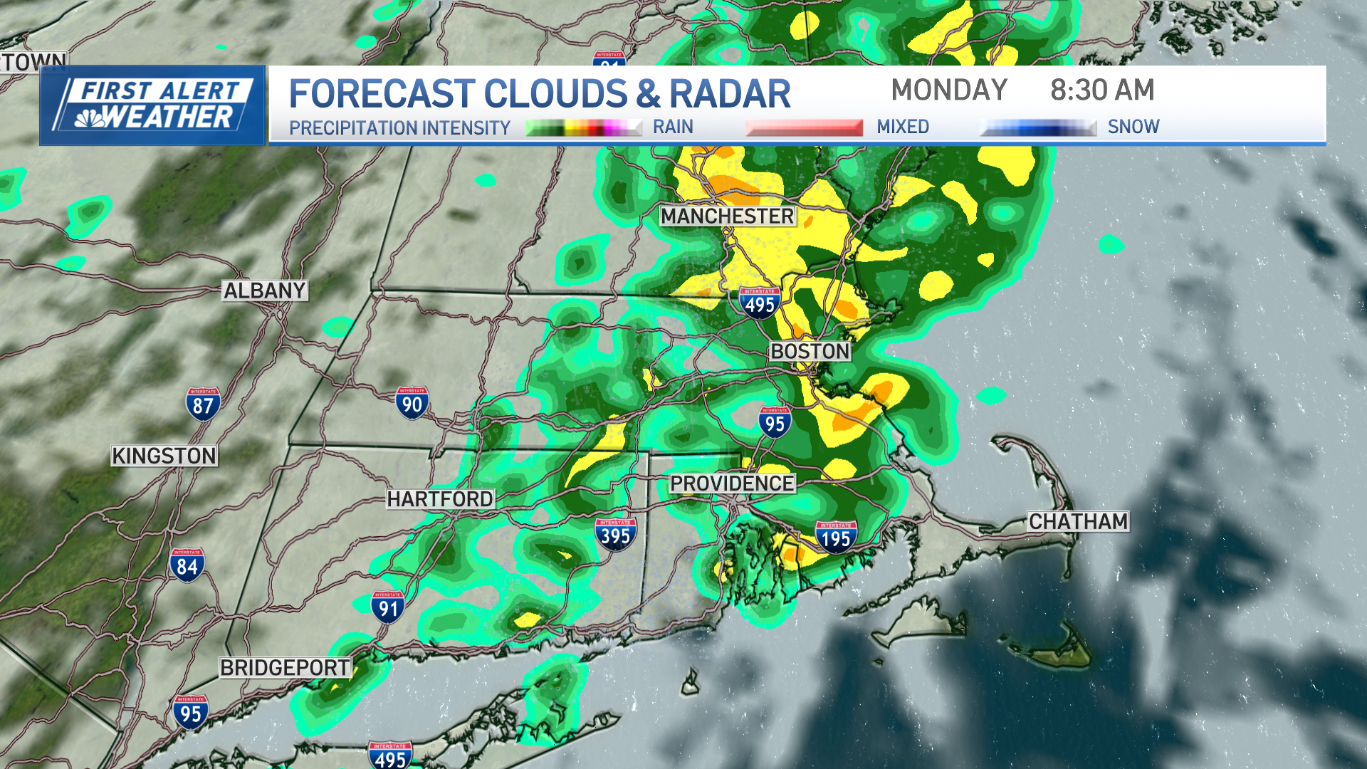
Showers hang around for Monday afternoon, again because of afternoon instability. Highs will be in the 50s to low 60s where we see more sunshine.
Local
In-depth news coverage of the Greater Boston Area.

Warmer temperatures arrive Tuesday with a strong southwest wind pushing us to near 70 across much of the region. A strong storm system approaches New England on Wednesday with a chance for rain showers in the afternoon and snow for the higher elevations.
This disturbance lingers into Thursday morning and then some clearing is expected later in the day. Temperatures will be in the low 60s Wednesday to upper 50s by Thursday.
Sunshine returns Friday and Saturday with another chance for rain Sunday afternoon as seen in our exclusive 10-day forecast.