
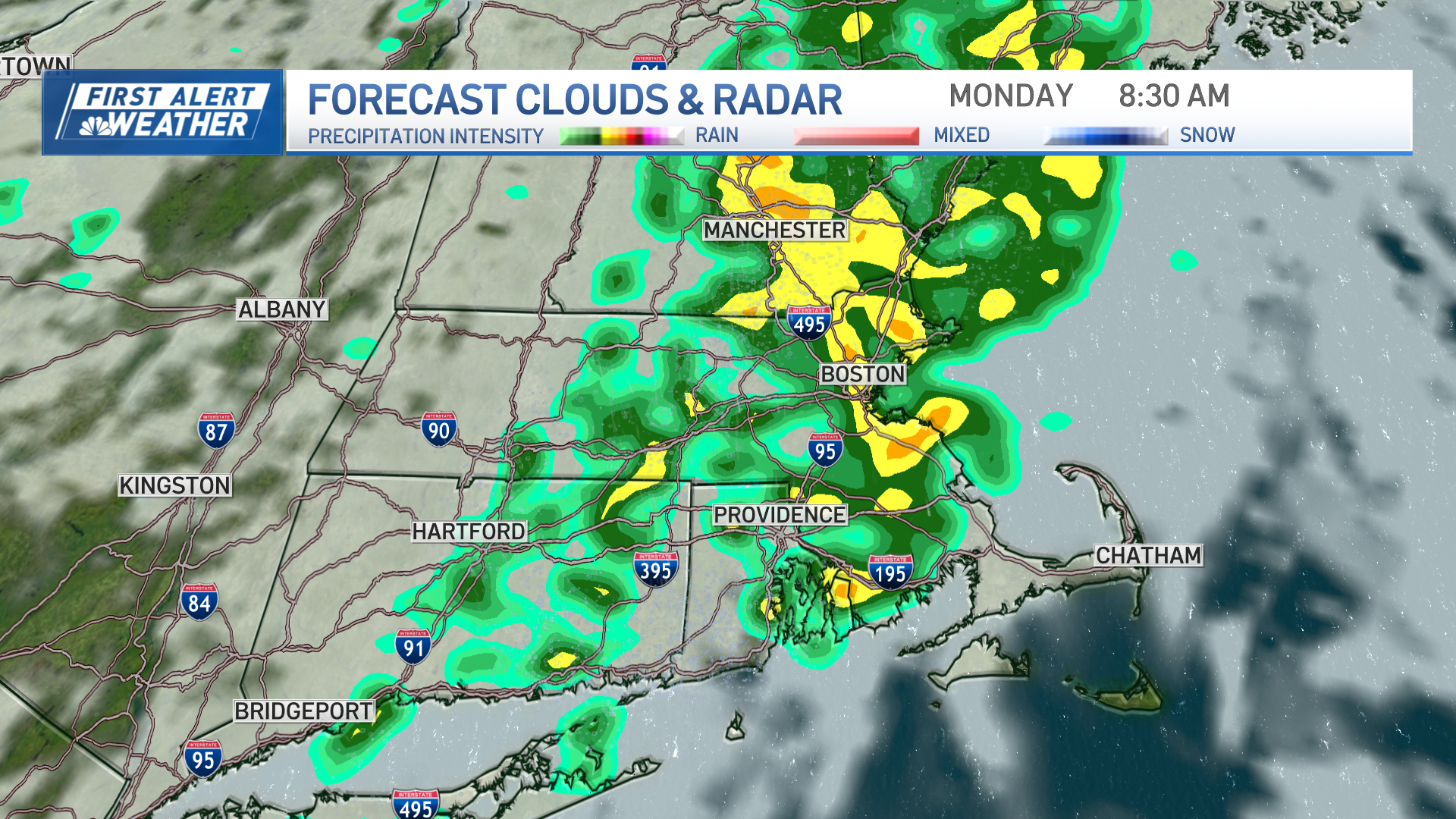
There are two focused areas of showers and rain Tuesday in New England – one north and another southeast.
The southeastern area of rain expanded Tuesday morning and continues periodically through the day, focused on southeast Connecticut, Rhode Island and southeast Massachusetts through the South Shore and southern suburbs of Boston – the product of a tropical packet of moisture that’s traveled north up the Eastern Seaboard and will produce occasional showers, then pockets of rain, then embedded downpours in these southeast locales.
Get top local stories in Boston delivered to you every morning. Sign up for NBC Boston's News Headlines newsletter.
The rain in northern New England is lighter in intensity and developing from an entirely different disturbance: a cold front sagging south across the Canada border, slowing as it does so and prepared to stall over northern New England Tuesday night.
This leaves the major metropolitan areas of Hartford, Springfield, Worcester, Boston, Portsmouth, Portland and Bangor mostly between areas of rain, with the best chance of some sprinkles or light showers late day and evening Tuesday.
Overnight Tuesday night, the stalling front in northern New England turns around and starts north, becoming a warm front as a south wind increases, not only keeping mild overnight temperatures in the 50s for much of New England except the far north, but also delivering fog, sprinkles and light showers from the overnight into Wednesday morning.
Local
In-depth news coverage of the Greater Boston Area.

As mild air takes stronger hold of central and southern New England Wednesday midday and afternoon, fog dissipates, showers become less likely and clouds break for some sun, bumping temperatures above 70 degrees for all but the North Country and Maine, where clouds will hang tough.
The same wavering frontal boundary marches south again Wednesday night into Thursday, delivering some night showers to northern and central New England, and drier air to all six states for increased sun Thursday with only a slow arrival of cooler air that will first be evident in northern New England Thursday, then near our eastern coasts as the wind shifts to blow off the water Thursday afternoon, then for all of us Thursday night into Friday with noticeably cooler air.
It appears mild air may make one final stand Saturday, sending temperatures near 70 again before a stronger, lasting surge of cool air arrives behind a Saturday evening and night shower for a sharply, dramatically cooler Sunday and setting us up for a cool week next week with an increased chance of showers in our exclusive First Alert 10-day forecast.