


Today: Sun and clouds, high in the 80s. Wind from south 15-20 mph. Overnight: Mostly cloudy, areas of dense fog. Lows near 70. Sunday: More sun than clouds, humid breeze, highs near 90.
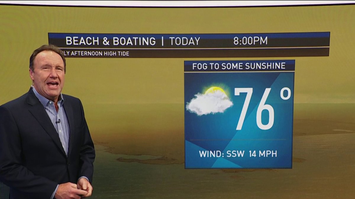
This will mark the coolest day we’ll see for the next six. With the heat not yet established, highs will climb to the mid-80s as any morning fog gives way to partly sunny skies. It’s still a decent beach day, but Sunday is looking like the pick of the weekend thus far.
Speaking of, it will be the first day of an extended heat wave. While highs Sunday hit the low 90s, Monday through Wednesday will soar to the mid (and possibly upper) 90s. Records may seem out of reach, but I’m not putting anything past this hot spell. The upper levels of the atmosphere are steaming hot, and anything near 96/97 is fair game.
Heat indices, what it feels like with the air temperatures and humidity combined, will creep close to 100 for the three day stretch. Take it slow, drink plenty of non-alcoholic bevies, and find some A/C to keep cool. Studies have shown that the overnight low temperatures are the biggest contributors to heat stress and exhaustion. Close inspection of the 10 day reveals that some nights we will stay in the upper 70s!
Long range, we’ll slowly cool off, but the humidity will be reluctant to leave. With a slow-moving front approaching and a deep fetch of water vapor from the South, we could be looking at some super charged storms late next week. Have to keep an eye on developing storms Thu/Fri and perhaps the holiday weekend (don’t cancel plans yet).
Get Boston local news, weather forecasts, lifestyle and entertainment stories to your inbox. Sign up for NBC Boston’s newsletters.
Stay cool this weekend!

