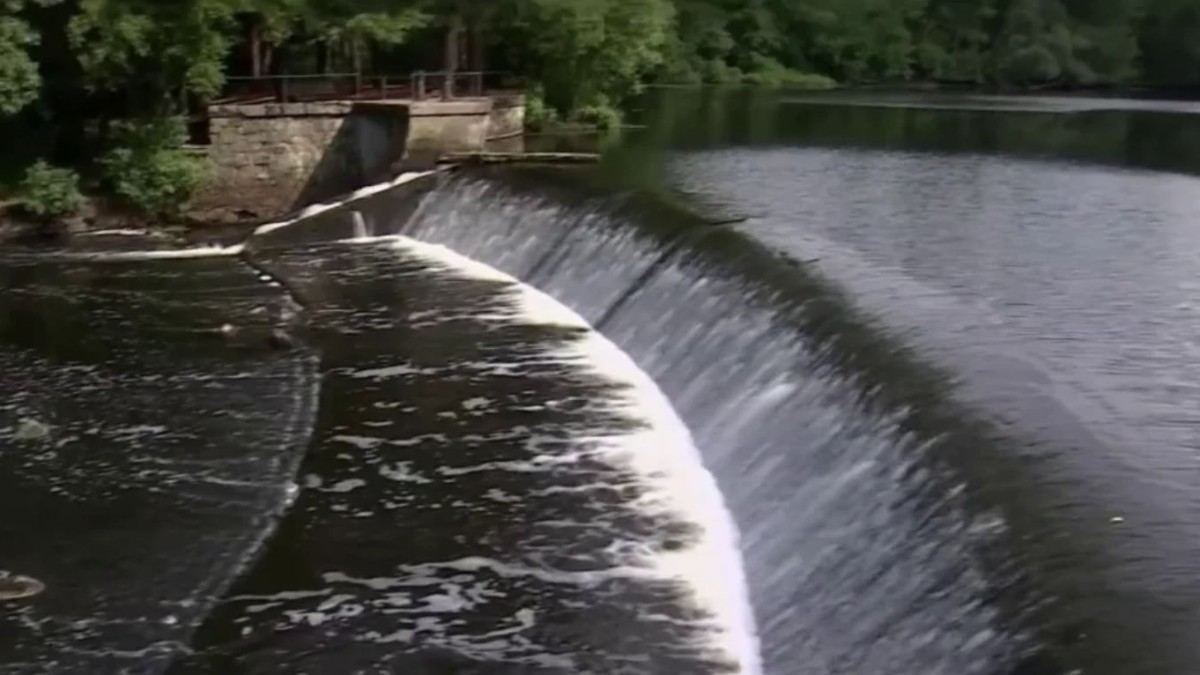
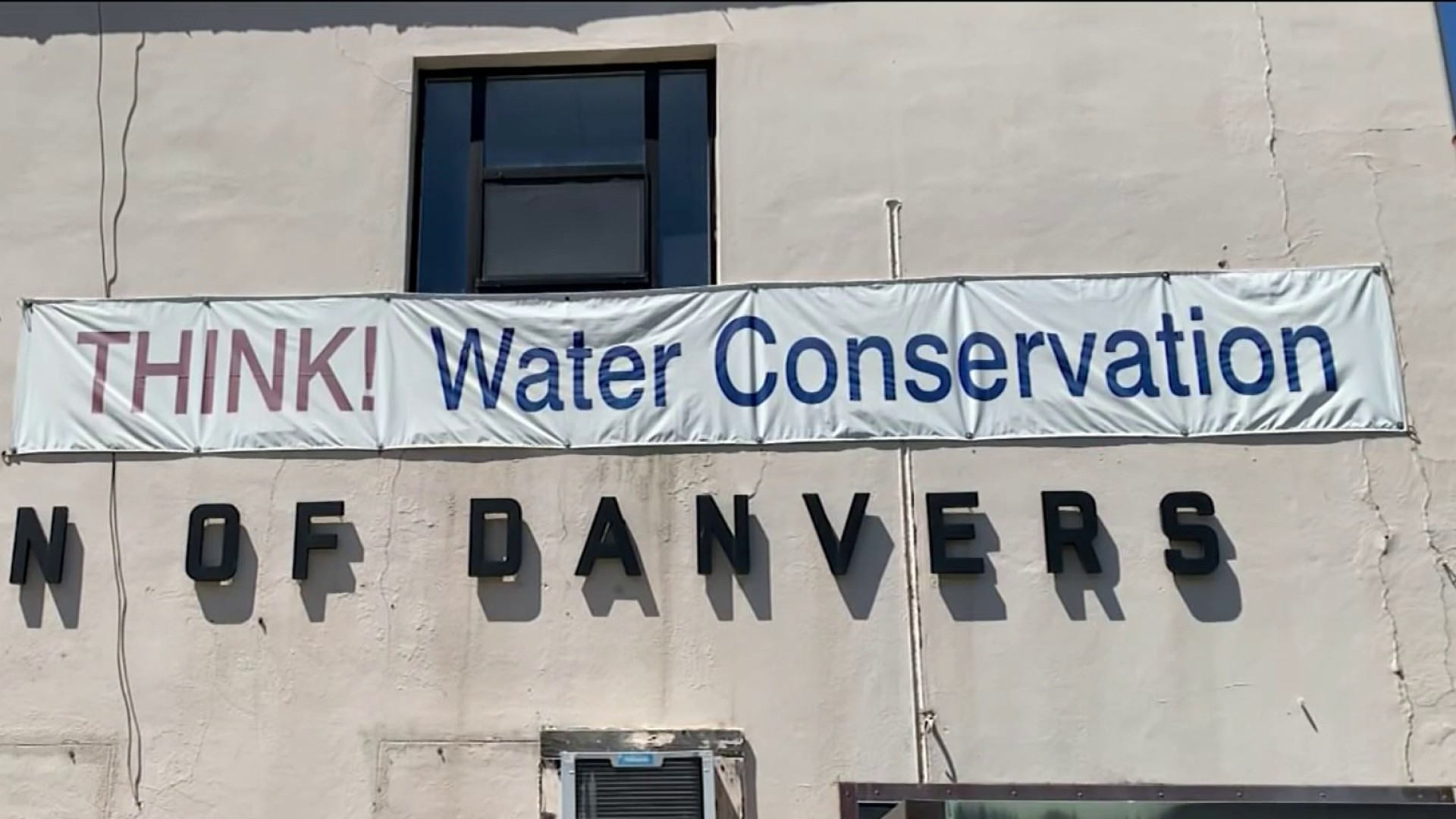
Lots of potential in the storms Tuesday, but a lot of towns and cities were left in the dust… literally. As the rain deficit grows and the despair deepens, lots of people are looking for any possibility of rain.
Storms are hardly the answer, as runoff and inconsistent coverage only aggravate the situation. A gentle, long duration soaking is in order here – just to simply get us to our normal monthly rainfall for July. Never mind banishing the drought.
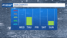
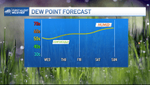
In the meantime, humidity drops and we’re on our way to another warm summer day. Our old frontal boundary is still around, but there’s not much to get the clouds building into showers or storms. That changes Thursday with a weather system rolling through the jet stream. A First Alert has been issued for Thursday due to the chance for thunderstorms.
Get Boston local news, weather forecasts, lifestyle and entertainment stories to your inbox. Sign up for NBC Boston’s newsletters.
We’re seeing the energy from that igniting showers and storms in the afternoon, with some potential for “respectable” amounts of water. Of course, there may again be some misses, but with a tandem team of upper air and surface systems, it’s the best we can hope for in this pattern.
Humidity will slowly climb in the coming days, peaking by the weekend. Plan on more beach days after Thursday too. We could even seek out a few 90s this weekend as the heat bears down.
Get updates on what's happening in Boston to your inbox. Sign up for our News Headlines newsletter.
Next week could also feature more chances at rain or storms as two slow-moving fronts tip toe across New England – one early week, the other late week.
Here’s hoping.