
We will continue to see unsettled conditions right through the first half of Saturday night as a large area of low pressure lifts through the region. Areas of patchy fog and scattered showers will be with us through this evening and into the overnight.
We’ll keep an eye on moisture exiting New York and entering western areas of New England during the first portion of the night which may produce a few strong to isolated severe thunderstorms. The main threat would be gusty winds and small hail.
STAY IN THE KNOW
Watch NBC10 Boston news for free, 24/7, wherever you are. |
|
Get Boston local news, weather forecasts, lifestyle and entertainment stories to your inbox. Sign up for NBC Boston’s newsletters. |
Far northern Maine will still be cold enough to support mixed precipitation with temperatures remaining close to freezing. A coating to an inch of sleet and snow is expected there overnight.
Lows tonight will be mostly in the mid 40s to around 50s south, low to mid 40s across much of Vermont and New Hampshire, and 30s for northern New Hampshire into central and northern Maine.
Get top local stories in Boston delivered to you every morning. Sign up for NBC Boston's News Headlines newsletter.
Drier conditions arrive Sunday which is also the first day of Spring! The Vernal Equinox occurs at 11:33 a.m., which is when the sun’s most direct rays are focused on the Equator! It will feel more like Spring on Sunday as temperatures will push 60 degrees across much of eastern Connecticut into eastern Massachusetts, up to southeastern New Hampshire, and into southern Maine!
We’ll see an increase in clouds during the afternoon with winds increasing out of the west as well.
As far as precipitation goes, the best chance will be across the higher terrain of central and northern New England where we could see some rain showers transitioning to snow showers later in the day.
An isolated shower is possible across the Berkshires, as well.
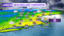
High temperatures will push 60 south, mostly in the 50s north, and 40s across the higher terrain.
Weather Stories
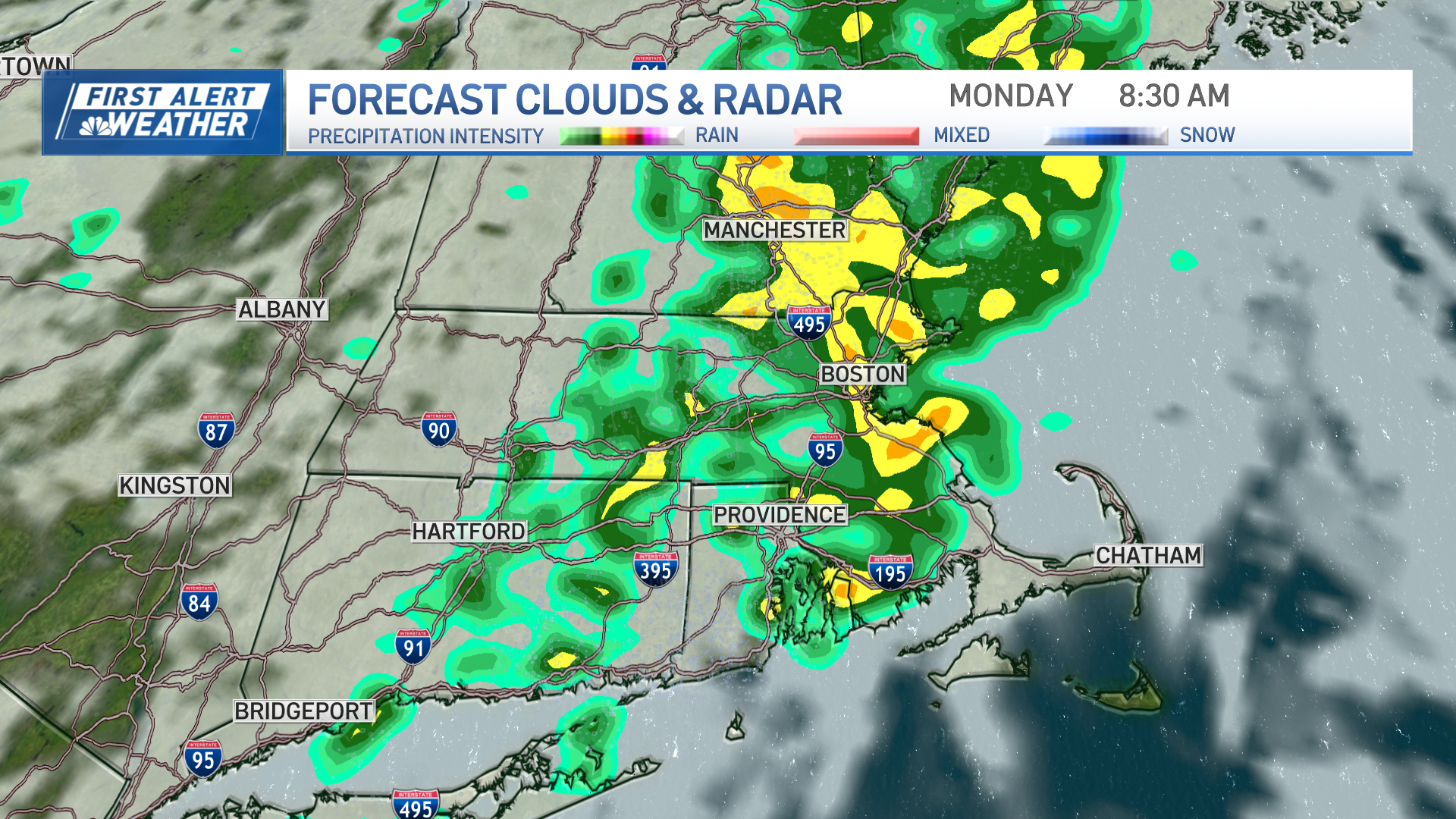

The new work week starts off dry and breezy as we find ourselves in a northwest air flow.
The next chance for widespread precipitation arrives Wednesday into Thursday as low pressure comes at us from the west. There's still some uncertainty in precipitation type with marginally cold air in place for portions of the region. Right now it looks like a snow to rain situation north as our Exclusive 10-Day Forecast shows with mainly rain south, but don’t be surprised to see it start out as a brief mixed bag north and west of Boston! Stay tuned.