We have a tale of two seasons this weekend. Spring today, and winter tomorrow!
Our gradual warm up ends Saturday with the peak high temperatures of this mild stretch going up to highs in the 50s. Even temperatures Saturday morning stayed well above freezing for most of New England, meaning more melting occurred overnight.
STAY IN THE KNOW
Watch NBC10 Boston news for free, 24/7, wherever you are. |
|
Get Boston local news, weather forecasts, lifestyle and entertainment stories to your inbox. Sign up for NBC Boston’s newsletters. |
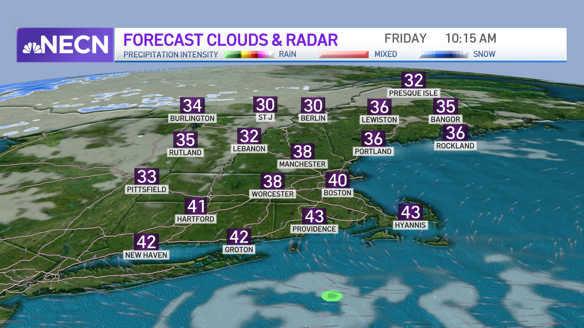
A cold front is pushing through on Saturday, bringing some clouds for southern New England. It's also bringing a gusty southwest wind before it moves through, and therefore, we see warm temperatures.
Highs reach the 40s to 50s, and some places will reach the low 60s in southern New England with afternoon sun. A light wintry mix and some mountain snow showers are possible all day with the upslope snow potential. Most ski areas will see melting though, so don’t count on the fluffy powder from those messy showers.
Get top local stories in Boston delivered to you every morning. Sign up for NBC Boston's News Headlines newsletter.
Saturday night, the cold front really moves through and colder air spills in from the northwest. Lows drop to the teens and 20s with almost steady temperatures during Sunday afternoon. The front stalls south and offshore, but picks up a low pressure system developing off the southeastern U.S.
This storm stays out at sea, but pivots in some light snow showers Sunday morning through early evening. Light accumulation is likely, with a coating up to 2 inches for southern New England, around 2 inches in Boston, and 2 to 4 inches for the South Shore, Cape Cod canal, and Providence.
If you're driving around for any Super Bowl parties, it may be a bit slippery, so we have issued a First Alert for Sunday. Plus, everything freezes up Sunday night with temperatures in the single digits and teens.
Our cold air is here to stay through Monday with highs in the low 20s, a good reason to plan a warm and cozy Valentine’s Day.
Some ocean-effect snow showers are possible for the Cape and Islands as we see a north, northwest wind. Temperatures gradually warm up through the week, and we may see another warm up into the 50s by the end of the week.