
Friday: Hazy, hot, humid. Highs in the low 90s, heat index 96-100. PM isolated storms.
Tonight: Sct’d showers or storms, muggy, cloudy, lows in the mid 70s.
Saturday: Scattered showers and storms by late afternoon. Highs around 90, heat index mid 90s.
Sunday: Scattered showers and storms. Highs in the mid 80s.
At this point in the summer, we're focused on the few remaining bright, sunny weekends and any relief from the humidity.
This weekend features neither. OK, maybe that's an embellishment in the sun department, but we're certainly not getting any break from the sticky weather.
WATCH ANYTIME FOR FREE
Stream NBC10 Boston news for free, 24/7, wherever you are. |

We'll pick things up with where we left off Thursday. Heat indices spike in the mid and upper 90s this afternoon, hazy sun and sky – and the chance for a few storms this afternoon.
Get updates on what's happening in Boston to your inbox. Sign up for our News Headlines newsletter.
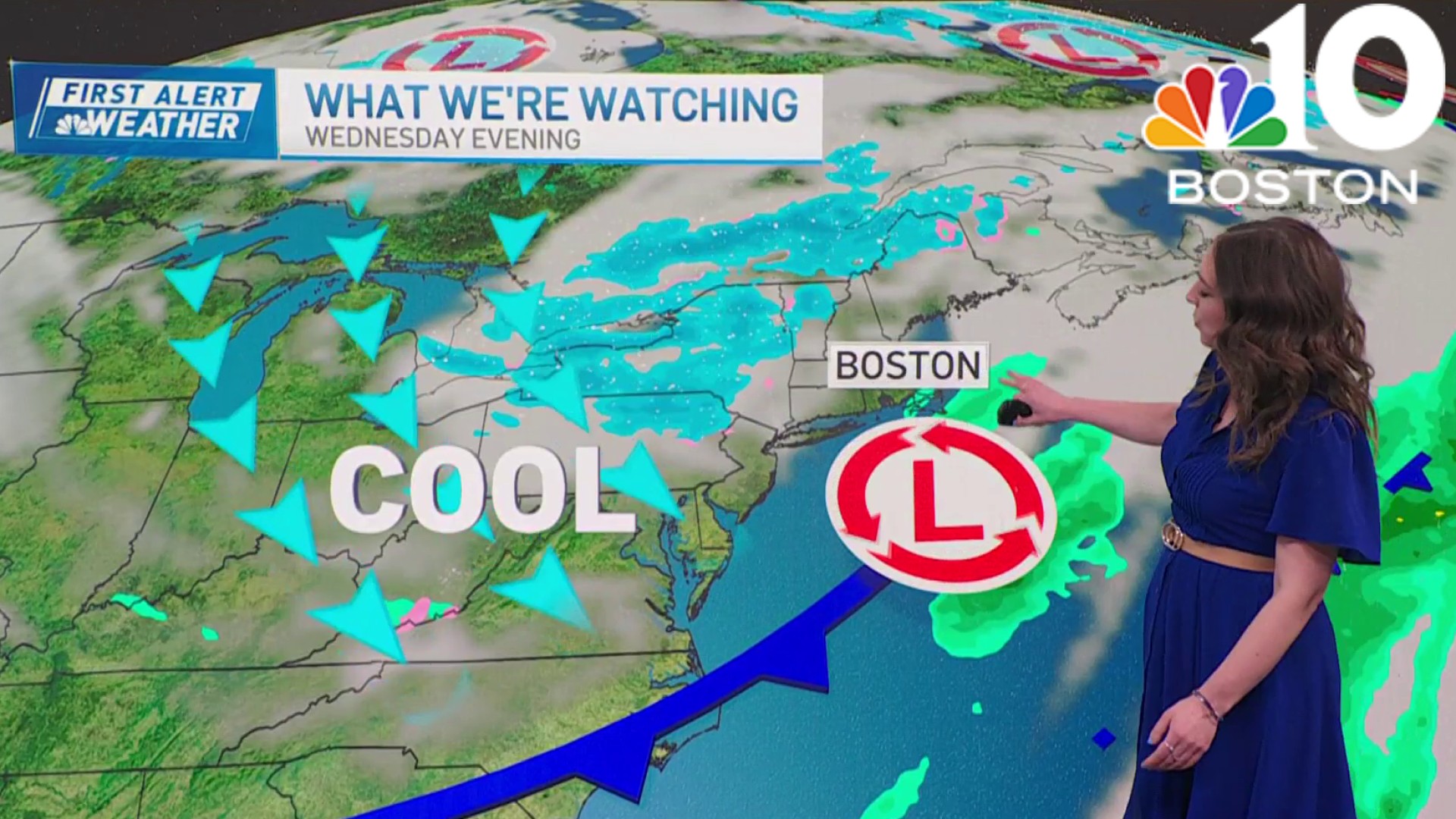
Along the immediate coast, we might fall short of 90 degrees thanks to the sea breeze. This weekend, we'll all see temperatures sink a little more thanks to increased cloud cover. Thunder chances remain "decent."

These aren't washed out days, but we will see plenty of "hits" with storms. They will drop their downpours and then move on, with sun poking out afterward (and a huge leap in humidity).
Beware of any intense rain with the thunderstorms.

The relief part is reserved for Tuesday. Still uncertain whether it comes in during the morning or afternoon, but it is in route. And it seems to have staying power through Thursday.
Weather
Much of next week for that matter sees temperatures in the upper 70s to low 80s.
Enjoy the weekend and be safe!