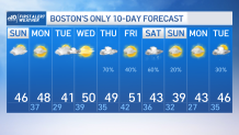
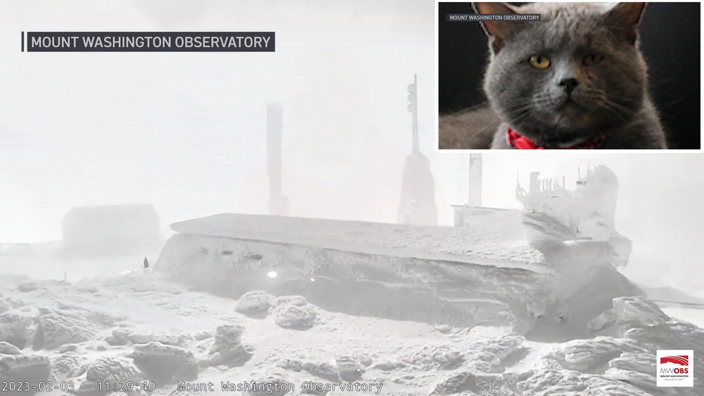
We made it! We are over the arctic air and our temperatures have recuperated rapidly to the 40s again. But the wind is still trying and it's gusting over 20 mph, meaning that the wind chill is mostly limited to the upper 30s.
You definitely won’t need as many layers as you did on Saturday. The flow is out of the southwest which transports more moisture and clouds, these are mid and upper level clouds, no rain through the afternoon, with the exception of Cape Cod.
WATCH ANYTIME FOR FREE
Stream NBC10 Boston news for free, 24/7, wherever you are. |
Cape Cod and the Islands are looking at a chance of showers after midnight into early Monday, while most of it exits by 7 a.m., Nantucket may still see some light precipitation through mid-morning.
The wind will gust up to 40 mph in the southeast and while it loosens Monday afternoon, it comes back later in the day.
Get updates on what's happening in Boston to your inbox. Sign up for our News Headlines newsletter.
The wind will also switch direction, from coming out of the south and west to north by Tuesday evening. Along with developing showers, a cold front will rush in dropping temperatures on Tuesday and snow showers in the mountains.
The mountains will see a brighter Wednesday and so will southern New England where the warmest temperatures will jump back to 50°!

Then showers return on Thursday before another mild wave of air brings upper 40s to 50s on Friday. Those celebrating Valentine's Day this upcoming weekend will have a cooler trend for Saturday and Sunday with unsettled conditions Saturday and improving Sunday.
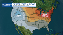
Tuesday (Valentine’s Day) trends warmer in the upper 40s with a 30% chance of showers for now. The long range temperature outlook keeps us above average through Feb. 18.


