Today’s forecast has been through quite a journey. It seemed that it would be the warmest day of the week, with just a few feeble morning showers.
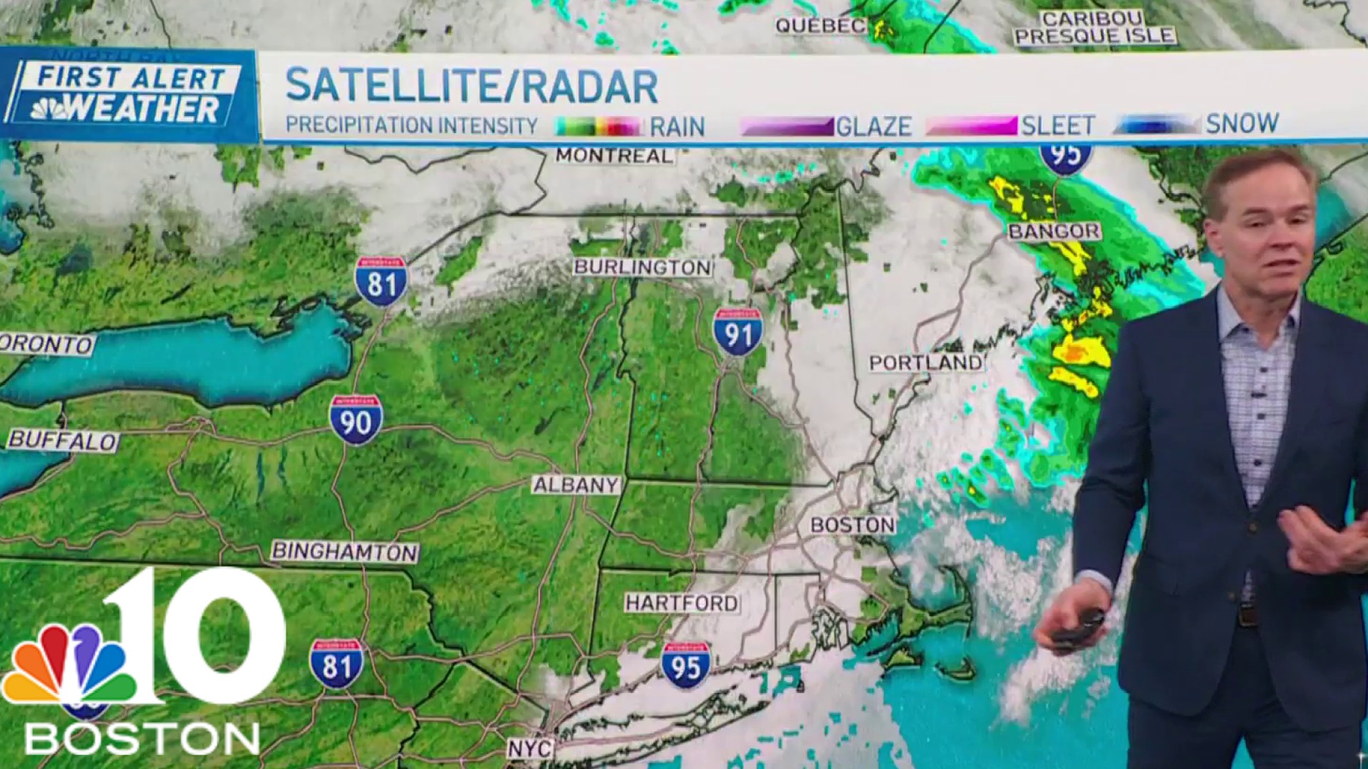
That really took a turn yesterday, when the front slowed down and the rain stretched into the early afternoon. We’re trying to salvage a few dry hours this afternoon, but more showers may arrive late day to foil evening plans. In all, it’s not a heavy, drenching rain. Just a steady, uniform rain, at an inopportune time.

Tomorrow dawns much brighter. We’ll hold the Sun throughout the day, but with a colder airmass aloft, the temperatures won’t get too warm.
Get Boston local news, weather forecasts, lifestyle and entertainment stories to your inbox. Sign up for NBC Boston’s newsletters.
60 would be the top limit, as most of us stay in the upper 50s. Brisk winds will blow all day, so working outside may feel cool at times.

Monday and Tuesday are also bright, but the temperatures slide a little more thanks to a reinforcing shot of cool air sweeping in from the north. We’re seeing signs of frost potential on Tuesday morning as the breezes collapse and ideal conditions set up for radiational cooling.
Next shot of showers arrives on Wednesday, followed by another batch of cool air behind. Suffice it to say, there’s no summer warmth in our immediate future.

Have a great weekend!