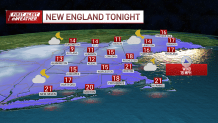
Tuesday night: Clearing, some slick roads. Lows around 20. Wednesday: Bright and chilly. Highs near 30. Thursday: Clouds return. Highs around 30.
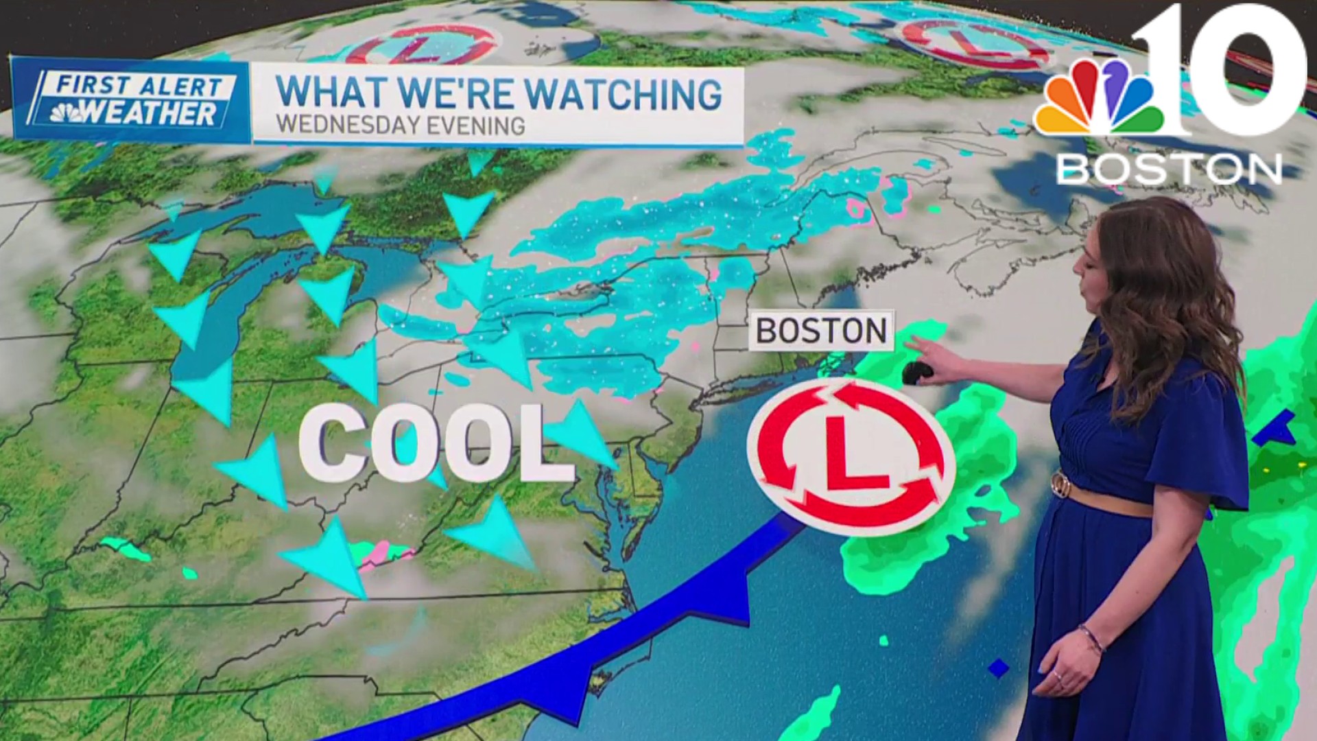
A gentle snowfall fell across New England as a low pressure system passed across the Gulf of Maine Tuesday.
The fluffy snow consistency left a couple inches of snow across southern New England, before flipping over to a mix and rain for some.
WATCH ANYTIME FOR FREE
Stream NBC10 Boston news for free, 24/7, wherever you are. |

Though the cold air will remain stubborn enough across the North Shore and Metrowest, so some icing is a concern where roads are untreated. The cold air is really set up across northern New England, so the fluffy snow continues to pile up quickly in the mountains and ski areas.
Get updates on what's happening in Boston to your inbox. Sign up for our News Headlines newsletter.
Most areas in southeastern New England already saw 1 to 3 inches Tuesday morning, with some snow getting washed away. All snow is gone on the islands already. Inland and across most of Massachusetts, Connecticut, northern Rhode Island will get 3 to 6 inches of snow total.
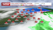
With the higher totals as you head into New Hampshire, Vermont and in Maine. Interior Maine will see over 6 inches of snow Tuesday into this evening as the storm wraps up in southern New England. Blowing and drifting snow will be an issue in Maine as the low pressure system heads out Tuesday night.
Colder temperatures rush in Tuesday night with temperatures in the 20s, and remaining in the 20s for most on Wednesday.
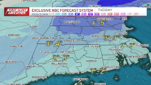
The morning will be icy on any untreated surfaces as everything freezes over, even across southeastern Massachusetts. The sun returns Wednesday afternoon into Thursday but we remain very cold with highs below freezing through the rest of the week. Another cold push of air follows an offshore storm Friday.
Some snow is possible as it brushes by to the south, so stay tuned.

