
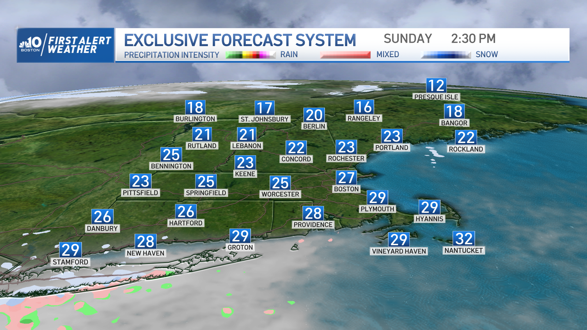
We are gladly taking in the 20s Sunday with sunny skies and the pleasant light wind. The thing is, our temperatures are not really decreasing as usual Sunday night thanks to a approaching storm.
We’ll actually be tracking increasing temperatures through the overnight hours as a warm front is pushing in warmer weather and plenty of moisture, energy and wind gusts. Some snow will be filling in early Sunday night through the southwest (Connecticut and southwestern Massachusetts) before temperatures rise above the freezing mark.
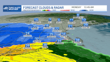
Some light snow might make it near Boston, possibly reaching Interstate 495. The warm front, however, rapidly pushes in warmer temperatures Sunday night and a southeast flow, so our snow will get replaced by rain and heavy downpours at times.
Get Boston local news, weather forecasts, lifestyle and entertainment stories to your inbox. Sign up for NBC Boston’s newsletters.
For central and southern New England, Monday morning's commute will be filled with rain, strong wind gusts and the risk of coastal flooding through hide tide time (close to 11a.m.).
Our inland gusts may exceed 45 mph, but our coastal communities and shorelines may see gusts reaching over 60 mph, bringing high waves, minor to moderate coastal flooding and possible power outages.
More Weather Stories
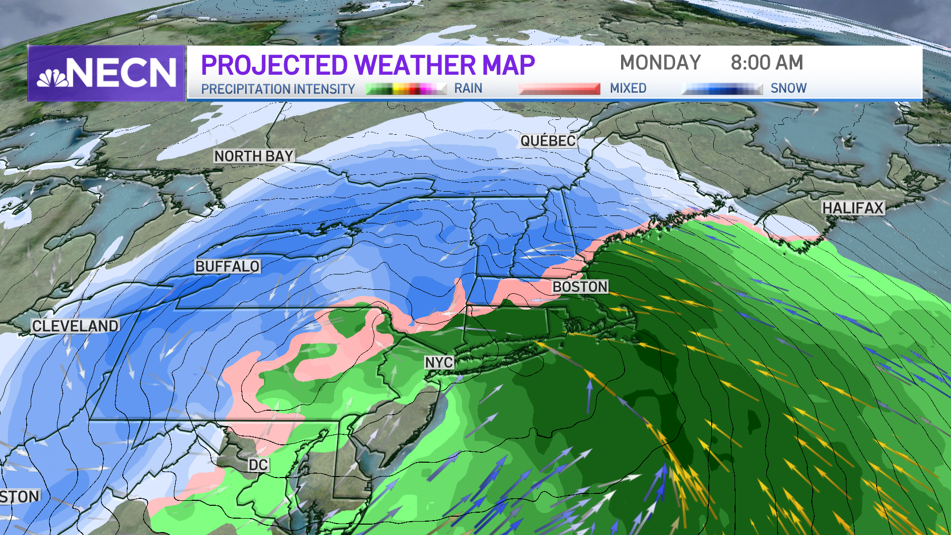
Snowfall is not expected to affect the south or southeastern areas near the shores, but the snow line will progress further north as the day progresses. Our snowfall production may add between 2 to 4 inches west near Worcester, but these areas will also be watching the snow replaced by rain through the late morning, allowing much of that snow to melt away.
The highest elevations in Vermont, New Hampshire and Maine may receive from 6 to 8 inches and over 8 inches in localized areas.
Tuesday will continue with gusty winds but our temperatures drop to the upper 20s and our wind chills will be down to the teens. Stay tuned as we continue to monitor the development of this storm.
