It's a beautiful day on tap, with mostly sunny skies across much of New England with the exception of Fairfield county in Connecticut where the clouds have been hanging tight since this morning.
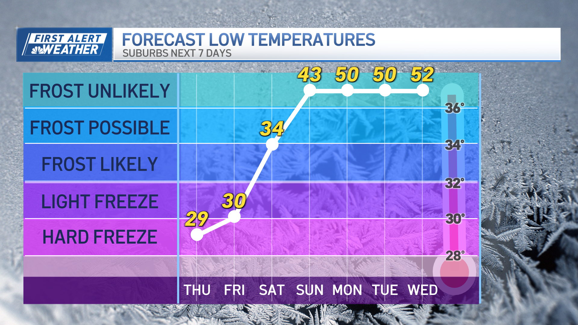
Temperatures were able to warm into the 60s inland while the sea breeze kept coastal towns in the 50s. As high pressure departs tonight, lows will drop into the 30s north and 40s south with patchy frost in some locations.
Clouds will continue to increase ahead of our next system that arrives in western New England tomorrow.
Thursday will be mainly cloudy with a few showers and highs in the 50s. This area of low pressure coming in from the Great Lakes is our next rain-maker as it will pull in moisture from the Gulf of Mexico and the Atlantic Ocean.
Between Thursday night and Friday, rainfall totals could range between 1-2 inches and with rivers and streams running high, we can't rule out some minor flooding due to this amount of water in a short period of time.
The other story to this storm will be strong winds with gusts up to 50 mph possible Friday across southern New England, so mariners will need to exercise caution.
Weather Stories
The first part of the weekend may start with clouds and showers but the sun will gradually appear Saturday afternoon. Sunday is a beauty and mostly sunny with a light breeze and highs in the 60s with a few inland locations making it to 70.
Even though May begins with highs in the 60s, our temperatures will drop into the 50s for the first full week of the month with more showers on the way.


