We’re on the final hours of the warm weather Friday, as we peer into the lens of an unsettled, cool weekend.
The front moving in on Friday afternoon will set off a domino effect that spoils the weekend forecast. First up, it will fire up storms in the afternoon, snuffing out the heat with some bursts of heavier rain and some isolated strong wind. Storms will pop at random any time after noon. Keep an eye to the sky for darkening skies.

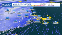
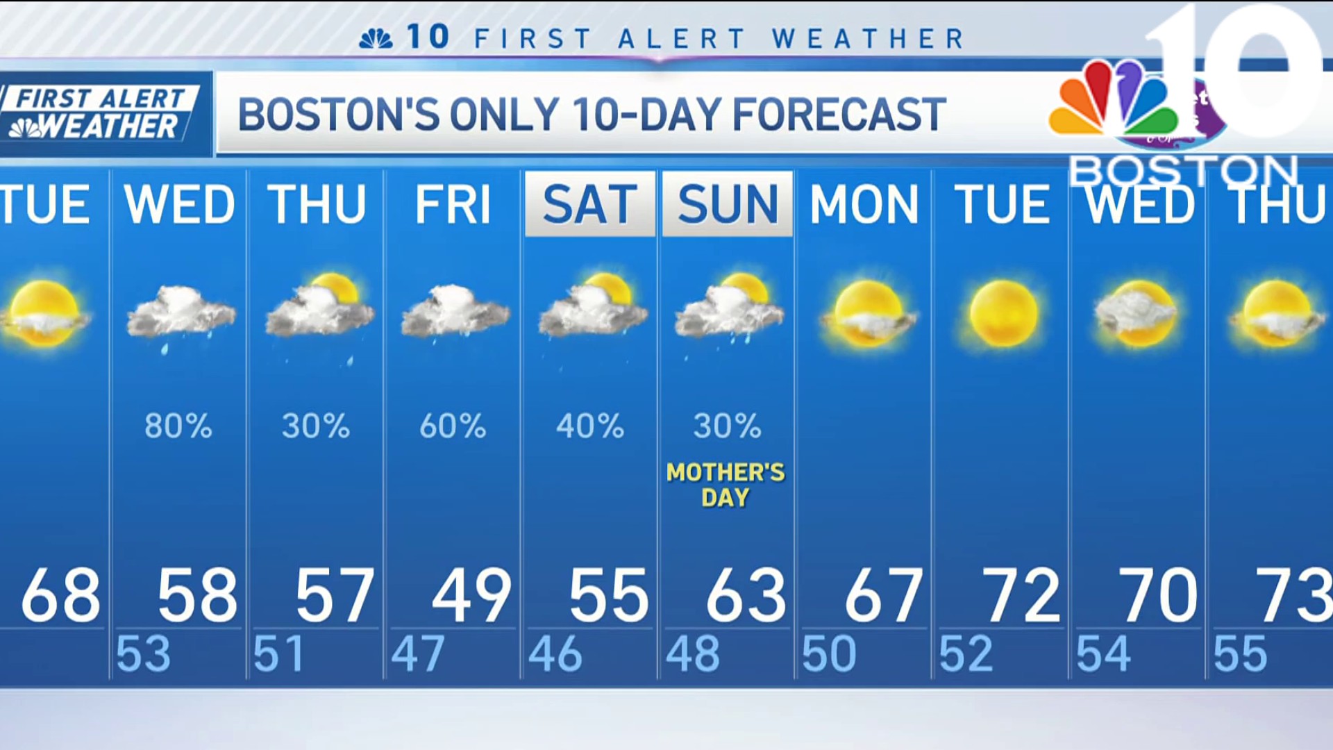
Cooling starts as early as Friday evening and keeps rolling through Saturday. Highs both days will only be in the 50s, with some guidance suggesting we fall to the low 50s both afternoons. Rainfall timing is still elusive. It DOES appear there will be some dry hours on Saturday, but Sunday could feature a steady period of rain (especially at the coast) through the afternoon. Gusty winds along the coast will make it feel more like March than June, with speeds topping out at 35 to 40 mph at times.
Get Boston local news, weather forecasts, lifestyle and entertainment stories to your inbox. Sign up for NBC Boston’s newsletters.
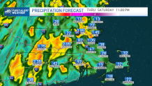
Rain is needed, and combined with downpours from storms, we could see 1 to 2 inches in spots. Generally, however, many towns and cities will be under an inch.

Getting out of this pattern is a challenge. Some showers are possible again on Monday, but by Tuesday and Wednesday we should be able insert some sunshine between the scattered showers. All told, this should help with the recent dry spell.
Weather
Make the best of it and be safe this weekend!


