Wednesday night: Chilly and mostly clear. Lows in the 20s. Thursday: Wintry sun with a nippy breeze. Highs 35-40, wind chill around 30. Friday: Wintry air, bright sky, quiet wind. Highs in the 30s.
Wintry air is returning to New England on a steady northwest wind Wednesday, as the region is sandwiched between a parade of storms riding along a slow-moving front over the Atlantic waters to our east, and an area of high pressure building over the Mid-Atlantic.
Overall, the northwest wind is carrying dry and cool air into New England, though the nearby ocean storms have been close enough to toss some clouds over Cape Cod and at times the South Shore, but these clouds will tend to melt away as the day progresses, overwhelmed by the arriving dry air.
WATCH ANYTIME FOR FREE
Stream NBC10 Boston news for free, 24/7, wherever you are. |
The cold air, of course, has posed problems for those still without power and heat after wind damage from our recent storm, while the majority of area rivers that have been flooding from the storm's heavy rain are now peaking or slowly receding, with the exception of the Charles River in eastern Massachusetts, set to crest Thursday night.
As the squeeze between low barometric pressure with the ocean storms and high barometric pressure with incoming fair weather continues overnight, a northerly wind will increase over Cape Cod, sustained at 15-30 miles per hour and gusting as high as 40 mph, creating overnight wind chill values of 15 to 20 degrees.
Get updates on what's happening in Boston to your inbox. Sign up for our News Headlines newsletter.
The remainder of New England will find a continued northerly breeze, though not as strong as on Cape, then everyone feels a nippy wind under sun Thursday with highs in the 30s feeling like the 20s.
As the center of the cool and dry air drifts through New England Friday, winds will quiet but the air will remain cold under sunshine, then a slow feed of milder air returns starting Saturday.
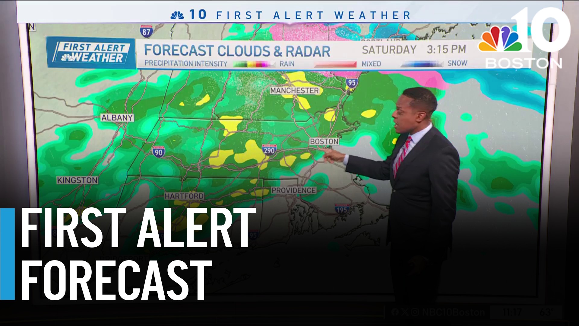
An approaching fast-moving, weak and moisture-starved jet stream disturbance and associated dying surface storm center will emerge east out of the Great Lakes Saturday, increasing clouds in our New England sky, but unlikely to produce more than a few light rain and snow showers late Saturday and Saturday night as it moves through.
Weather
By Sunday, some clouds will linger and mix with sunshine but temperatures will continue an incremental rebound, climbing from the lower 40s for highs Saturday to the middle 40s Sunday, leaving relatively comfortable air in the 30s with quiet weather for local visits around New England Christmas Eve.
The Christmas Day forecast continues to look fair and milder-than-normal, with highs of 45 to 50 degrees for many, while a strong storm in the nation’s midsection causes holiday travel delays from Dallas to the upper Midwest, and drops snow in only one area of the country on Christmas Eve and day: the Rocky Mountains to the High Plains.
Eventually, that storm draws east as advancing rain and mild air for New England by later on the 26th into Wednesday the 27th with at least some showers likely to persist later into the week.


