A cold front is a mixed bag of winter precipitation Friday.
In the North Country, a mid-season snowstorm has dropped up to a foot of snow (so far) across Vermont and New Hampshire, with more on the way throughout the day.
WATCH ANYTIME FOR FREE
Stream NBC10 Boston news for free, 24/7, wherever you are. |
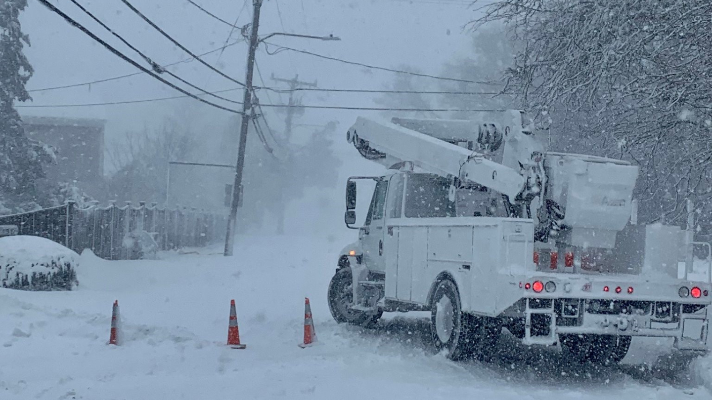
Across central New England, snow and sleet have been accumulating, leading to a dangerous morning commute across southern New Hampshire, with numerous weather-related crashes reported.
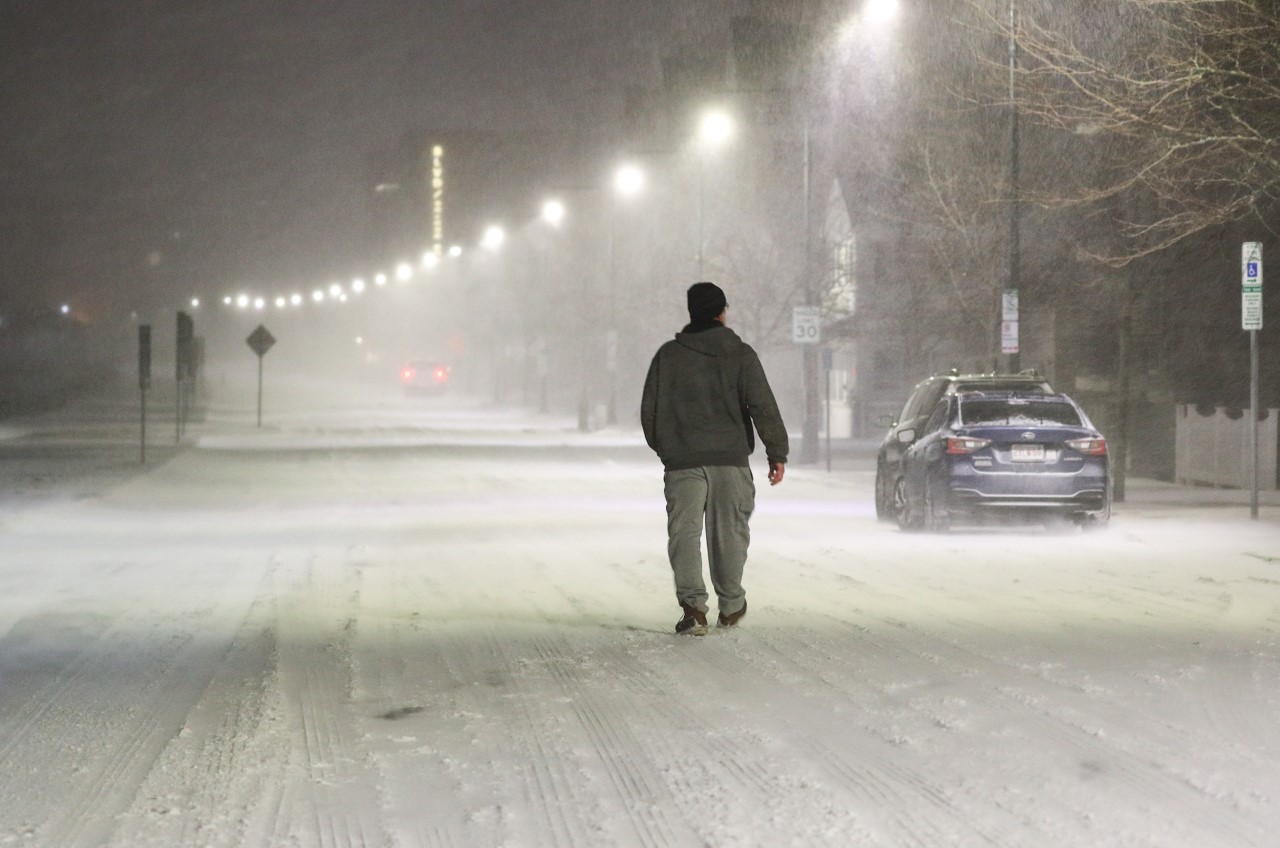
Across southern New England, freezing rain and sleet created a slow and hazardous morning commute, causing multiple crashes on the Massachusetts Turnpike, Interstate 95 and Interstate 495.
Get updates on what's happening in Boston to your inbox. Sign up for our News Headlines newsletter.
All of these various winter weather types will continue through the afternoon, before moisture finally moves away from the region. A flash freeze moving south will continue to challenge road crews trying to keep the roads clear and treated.
By the afternoon, the deep layer of cold air will lead to a change from sleet and freezing rain to mostly sleet.
By this evening, most of the wintry weather will be offshore, excluding Cape Cod and the Islands, where it holds on through midnight.
Friday night, temperatures will drop into the teens south and single digits to sub-zero in the North Country.
Cold and dry weather returns to New England Saturday and Sunday as high pressure settles in over the region. Highs only reach into the 20s south and teens north despite increased sunshine.
Looking ahead to next week, it is looking like a mostly dry stretch of weather, with moderating temperatures and mostly sunny skies through Thursday. High temperatures will range from the upper 30s to the low 40s with low temperatures reaching down into mid to low 20s south, and teens north.
On Monday into Tuesday, a coastal low pressure will likely skirt south of the region, yielding only an increased in clouds on the exclusive First Alert Weather 10-Day Forecast on NBC10 Boston and NECN.