In rare territory, Tropical Storm Hilary has brought California its first tropical storm in nearly eight decades.
In downtown L.A., 2.48 inches of rain fell Sunday, making it the area's wettest August day ever. Because of the flooding and heavy rain, an ocean water quality rain advisory is in effect through much of the week for L.A. County beaches.
Down in the Coachella Valley, Palm Springs recorded 3.18 inches of rain in one day. That is nearly 60% of its annual average rain. For comparison, that would be equivalent to Boston recording 25 inches of rain in one day.
The two-day rain total in Mount San Jacinto was nearly a foot, 11.74 inches.
Get Boston local news, weather forecasts, lifestyle and entertainment stories to your inbox. Sign up for NBC Boston’s newsletters.
While 3 inches of rain doesn’t sound frightening, it’s important to contextualize. Hilary’s rain essentially fell on a surface nearly as impermeable as asphalt and concrete, creating significant runoff leading to flooding, rockslides and debris flows.
This is why infrastructure and materials should be strongly considered as we look to build and fortify our cities as climate changes.
You may recall how recent extreme rainfall events in Boston lead to street flooding and high-water rescues. Some businesses in the Merrimack Valley are still recovering.
Get updates on what's happening in Boston to your inbox. Sign up for our News Headlines newsletter.
On that note, homeowners everywhere should make sure they stay well-versed on types of flood insurance. Typically, your normal homeowner’s policy covers flooding from things like burst pipes, but additional policies are needed to cover flooding as water piles up from the ground.
Back in California, high winds were troublesome too. Strong wind gusts were reported across the western slopes of the San Gabriel Mountains and Highway 14. Magic Mountain Truck Trail recorded an 87 mph wind gust early Monday morning. In L.A. County, tropical storm wind gusts between 40 and 55 mph were recorded just after midnight.
You’ll note that Hilary was a weakening tropical storm as it made landfall. I fear many latched onto that phrase, and therein lies the danger of preparing for natural disasters. These storms, as with most natural disasters, are often compounding or multi-hazard situations. It's not enough to prepare for "just" or "only" a tropical storm — or a winter storm, in New England's case. The change in language may curb people's expectations, but they should still be prepared for the potential impacts of severe weather.
As Hilary made landfall on Sunday, a 5.3 magnitude earthquake also struck Southern California. Though not connected, it underscores the importance of preparing for all natural disasters.
And sure, while the heaviest of rain has begun to break apart, the storm isn’t done. It’s still bringing plumes of deep tropical moisture as far north as Oregon.
Hilary seems poised to prove how everything in the atmosphere is connected too. Remnant moisture of Hilary will move around a robust ring of fire, centered around the middle of the country this week. Yes, it’s a Johnny Cash song, and while there’s no burning involved, it usually signifies intense heat. In this case, it’s a stationary area of high pressure that builds heat underneath it, while transporting moisture around it.
The blocking pattern from this area of high pressure keeps more extreme heat underneath it this week for several areas, from Chicago down to Texas, where a record-breaking summer continues.
Several cities from Houston to Dallas and Lubbock are experiencing their top 10 warmest summers through this date. This isn’t because of climate change. This is climate change. Record-breaking heat is becoming the new normal.
While the form and intensity of rain later this week will be far less potent, we'll see rain from the remnant upper-level energy of Hilary as it is transported across New England supported with a stronger upper-level low. We’re anticipating the bulk of the rain throughout the day Friday. We are certain this will be nowhere near the form of California’s Hilary.
If there were any doubt that we were approaching the statistical peak of hurricane season, a recent spike in tropical activity has reminded us why we should always remain on guard. There are several newly formed and named disturbances in the Tropical Atlantic.
- Emily, a short-lived tropical storm that is now a remnant low. It will die out over the Atlantic.
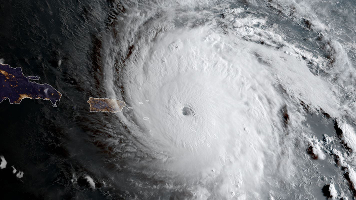
- Franklin, a tropical storm that’s likely to bring tropical storm-strenghth winds to Hispaniola and then strengthen in the Atlantic, south of Bermuda.
- Gert, a wakening tropical depression that will likely succumb to strong shear from Franklin, thus preventing further strengthening, and should dissipate any time.
- Harold, in the Western Gulf of Mexico, will have a brief window of opportunity to strengthen into a tropical storm upon landfall sometime tomorrow between Corpus Christi, Texas, and across the Rio Grande Valley.
Most of these systems present little to no threat to the Lower 48, and certainly not New England, but we do typically see a larger frequency of activity in late August, with a build-up to the peak of hurricane season in early-to-mid September. This lets us know that the foundation is certainly there, and it and won’t take much to develop more activity in the coming weeks.
One of those fundamental parameters is sea surface temperatures. Hurricanes are likened to engines, and they are dependent on heat — in this case, the warmer-than-normal ocean surface temperatures of the Atlantic, Caribbean and Gulf of Mexico.
In part due to climate change, water temperatures are 3 to 5 degrees warmer than normal. The coastal waters of the Gulf of Mexico are between 86°and 91°F through the Louisiana Coast and Florida Gulf Coast. This heat source adds an overall likelihood of heavy rainfall from tropical cyclones.
In a warmer world, the atmosphere’s ability to hold more water vapor increases. That increased moisture then leads to heavier rain.