
We're in a soggy stretch (again). While the temperatures remain mild, the rain is gathering strength to our south.
We'll see some batches of light rain cross overhead from time to time, especially around midday, as we await the heavy bursts after midnight. Temperatures are muted for much of the day, but as we get closer to the storm Thursday night, it's possible we rise into the upper 50s or even near 60.
How much rain will this storm bring?
Get Boston local news, weather forecasts, lifestyle and entertainment stories to your inbox. Sign up for NBC Boston’s newsletters.
Heavy rain pours down very late Thursday night and spills into the morning commute Friday. All told, another inch (plus) is at stake, but the timing for the Friday ride to work/school is not awesome.
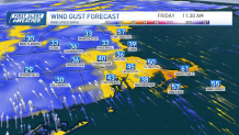
Beware of standing water, ponding, wheel spray and hydroplaning. It'll be compounded by strong wind gusts as the storm deepens in Ontario. Peak winds could hit 40+ mph from 5 a.m. to 12 p.m. With winds that top 50 miles per hour, Cape Cod and the Islands could see isolated outages.

What's in store for the weekend?
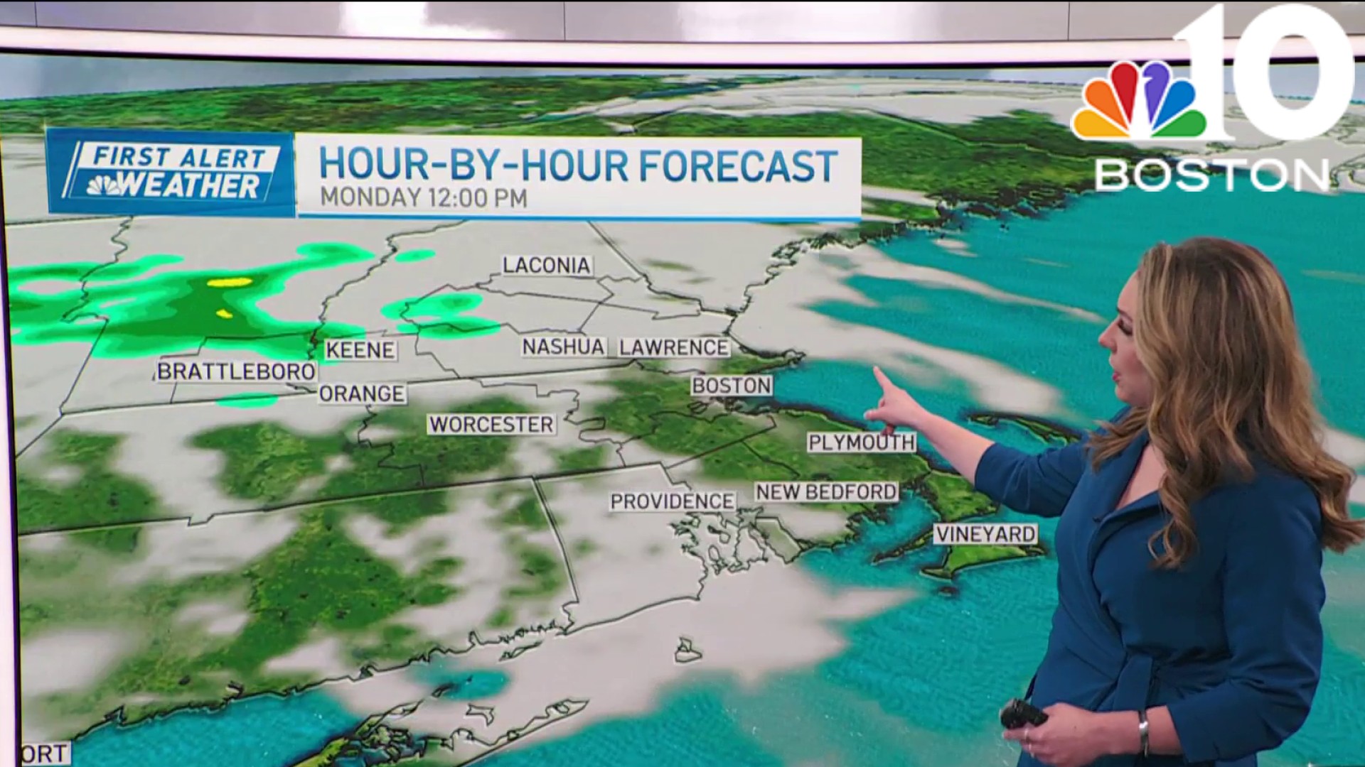

The weekend settles down, but it's not perfect. There will be stiff winds Saturday and a passing, brief shower. Sunday starts bright, then sees the clouds move in for a late evening shower.
What's the weather looking like for the Boston Marathon?
Marathon setup is looking pretty mild. Great for spectators, but maybe not runners.
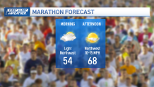
Breezes will be from the northwest, so it appears there won't be any sea breeze to greet you at Heartbreak Hill. This mild day could be one of many next week.
Warmer air swarming in the upper atmosphere could set us up for a couple of days in the 70s. We’re in a good place with the pattern now.
