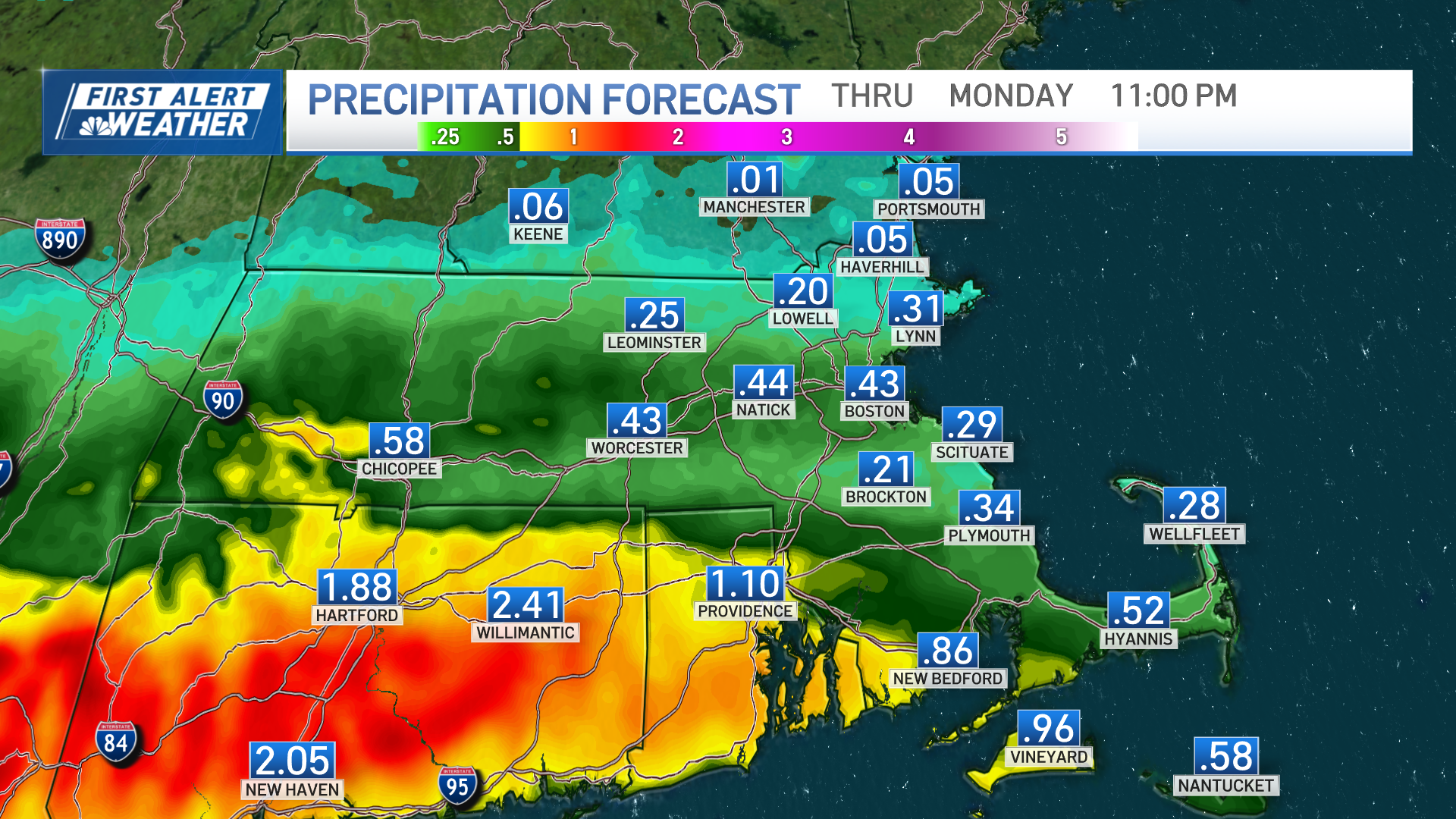
The remnant low of what was Tropical Storm Ophelia is moving south of the region today, and is the cause of our areas of rain, onshore flow and cool, raw feel to kick off this work week.
Additional rainfall totals of up to 0.25 inches south of the Mass. Pike are possible, with lesser amounts the further north you go — down to only a few hundredths in and around the city of Boston and points north through this evening.
Aside from a lingering shower or two tonight in southern New England, we’ll be mostly dry with variable cloud cover across the region.
Get Boston local news, weather forecasts, lifestyle and entertainment stories to your inbox. Sign up for NBC Boston’s newsletters.
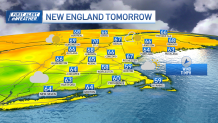
Tuesday features improved weather overall, though clouds will be stubborn, particularly at the coast, and the cooler onshore flow will continue. Some breaks of sun will emerge through the afternoon with more substantial clearing moving in Tuesday night.
The remainder of the week will be dominated by a new area of high pressure building in from eastern Canada. This will provide us with dry conditions and moderating temperatures — expect a good amount of sunshine and highs in the upper 60s Wednesday through Friday.
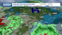
Right now, it looks like the dome of fair weather will remain parked over us this weekend, bringing a beautiful stretch of weather for any and all outdoor activities and plans.
Next week should feature above average temperatures and minimal chances of wet weather through at least Wednesday as seen in our exclusive 10 day forecast.
Get updates on what's happening in Boston to your inbox. Sign up for our News Headlines newsletter.

