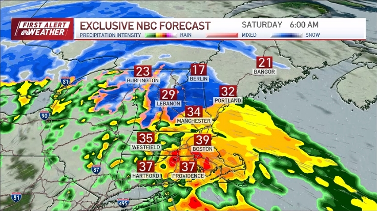
A lot of clouds around Saturday with a few sprinkles thrown in. Temperatures stay on the cool side with highs pushing 40 south, 30s north. Thickening clouds overnight from south to north as our next weather system makes its approach from the south.
A rain/snow shower is possible late across southwestern New England, but the rest of us should remain on the dry side through sunrise with some areas of patchy fog. Lows low 30s south, 20s north.
See all the weather alerts here.

Get Boston local news, weather forecasts, lifestyle and entertainment stories to your inbox. Sign up for NBC Boston’s newsletters.
Precipitation breaks out during Sunday morning across southern New England, mostly in the form of snow over the higher terrain and inland, a mixed bag closer to the coast and rain over the Cape and south coast. Precipitation continues into the afternoon and evening, pushing into central and portions of northern New England as well.


Wind will be on the increase during the afternoon and evening as low pressure tracks off the mid-Atlantic coastline and south of New England. Gusts out of the east/northeast may reach 50 mph across the Cape and Islands, 20-30 mph along the coast late Sunday night into Monday morning.

Follow the storm on our interactive radar:
Precipitation will continue throughout Sunday night and end during the afternoon Monday. The tricky part of the forecast is timing out the switch over from rain/mix to all snow as our storm system slowly pulls away and slightly colder air funnels back into the area.
Ordinarily, this would set us up this time of year for a widespread snow storm, but with lack of cold air in place, precipitation type is going to be tough to hammer down, especially along the I-95 corridor of Massachusetts to Rhode Island.

As of now, it looks like interior southern New England into central New England will see mostly snow, a mixed bag closer to the coast changing to all snow overnight Sunday night; last to change is the Cape. When all is said and done, 6-8”+ of snow is expected across the interior, 4-6” north and west of Boston, 2-3” in the City, and an inch or two down the Cape which is featured on our Exclusive snow forecast model.

A matter of a couple degrees plus or minus is all it will take to change the snow forecast, so a few minor adjustments may be needed as new forecast model information comes our way.
Stay tuned and have a great weekend!