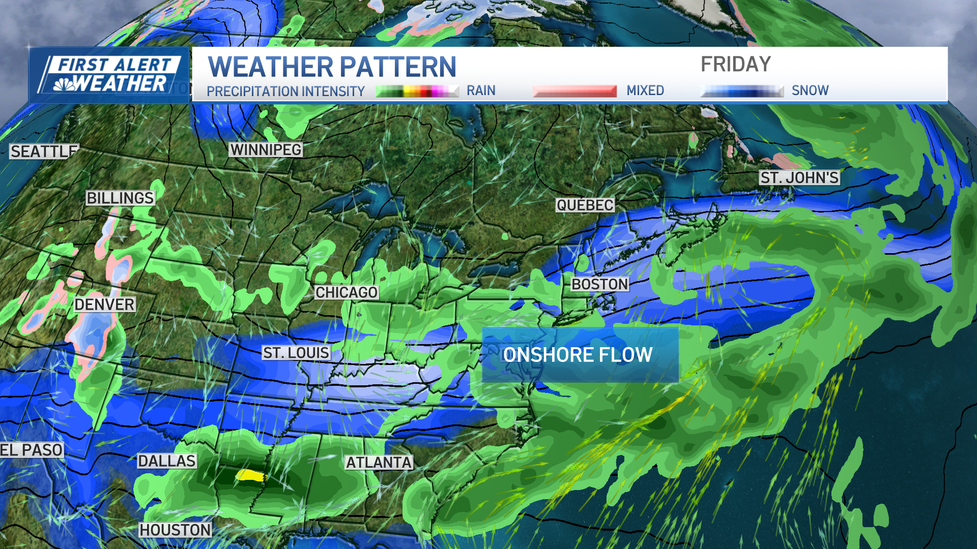
We have a First Alert for Wednesday night and Thursday as a potent coastal low tracks through New England. We have a couple rounds of damaging wind gusts along with heavy rainfall.
Next 24 Hours:
Our storm hasn’t even developed yet. We will have crispy temperatures overnight as lows dip to the 30s in northern New England and in the low 40s south. Clouds start to roll in from the southwest by Wednesday late morning, but we stay dry until after the evening drive home as highs reach around 60.
Rain & Timing:
The coastal low will develop by Wednesday afternoon off the Carolina coast and move up toward the Gulf of Maine by Thursday. By dinnertime, the showers arrive in Connecticut and will continue to spread northeast. The rain moves into Boston, southern New Hampshire and Providence by 11 p.m. to midnight. The rain will be heavy overnight and by Thursday morning most of it will fall. This is also when we may have some embedded thunderstorms across the area. There is a dry slot that may give us a brief break in the rain for the Thursday morning commute across southeastern Massachusetts. This is also when the center of low pressure passes over Boston. Behind the low, more showers develop, with another half inch of gradual rainfall. Total rain will be 2 to 3 inches across the southern two-thirds of New England, with under an inch north.
Wind:
Local
In-depth news coverage of the Greater Boston Area.
The low pressure center rapidly intensifies in a short period of time, and that is why we will see a quick-hitter but also two rounds of wind damage potential. The first round will be around midnight through the predawn hours with 40 to 60 mph gusts across southern New England and the higher gusts closer to the coastline. As the center of low pressure passes over Providence and Boston during the morning commute, the wind briefly relaxes in the center. Then the wind picks up again on the backside of the low as it tracks towards the Gulf of Maine by afternoon. Gusts between 30 and 50 mph will be likely from the northwest after noon and through evening. This wind direction will also help to funnel in cooler temps, as they fall from the 50s to 40s by evening.
[NATL] Extreme Weather Photos: Record Heat Threatens Europe
Coast:
This is a quick-moving storm, so we do not expect coastal flooding. The waves won’t have time to build like the last storm. Waves will still be about 10 to 15 feet offshore for Thursday morning (onshore wind) through evening (offshore wind).
10-Day Outlook:
We get this storm out of here in time for the weekend again! Friday through Monday we will be dry and sunny, in fact. Highs will be in the upper 50s Friday, low 60s Saturday and in the mid 60s Sunday into Monday. Tuesday we may make a run at 70 degrees, while scattered rain returns to the forecast from Tuesday into Wednesday.


