Once again, we've dug ourselves a (temperature) hole Friday morning. With numbers in the teens and 20s, we're certainly not missing the breeze. Friday will be a mostly still day with sun dominating from start to finish.
That gives us a good shot of cracking 40 in most spots Friday afternoon. This is also the start of our major warmup this weekend.
WATCH ANYTIME FOR FREE
Stream NBC10 Boston news for free, 24/7, wherever you are. |

Saturday, we'll be more challenged by clouds, with a steady breeze kicking up in the afternoon. Nevertheless, we continue the warming process, with many towns and cities hitting the 50 degree mark. We should be a bit cooler across northern Massachusetts and southern New Hampshire, however.
Get updates on what's happening in Boston to your inbox. Sign up for our News Headlines newsletter.
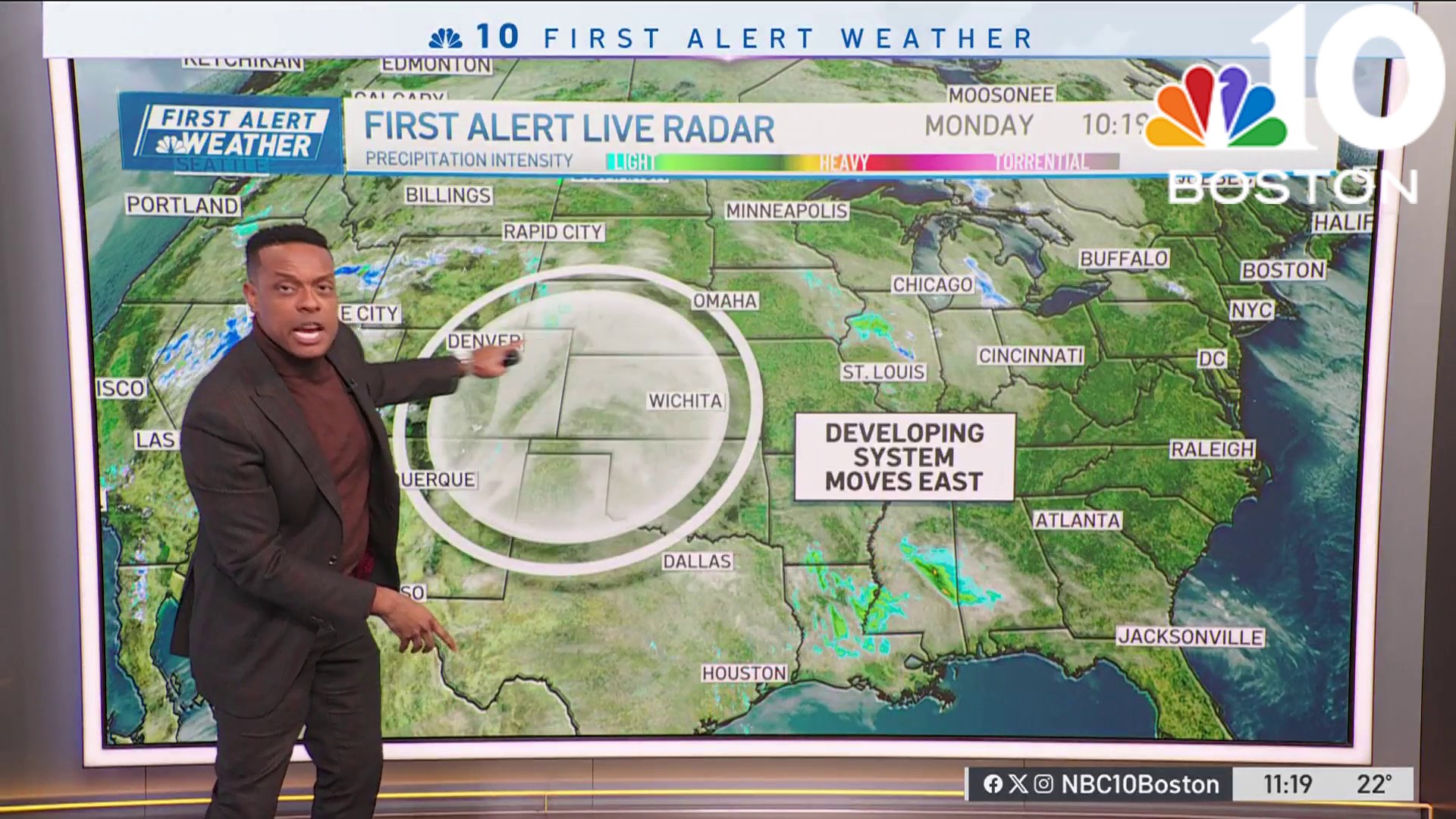
Sunday sees a gusty, mild, wet storm approach from the west. We have a couple of concerns with this system late Sunday night and very early Monday morning.

1) Wind. Gusts could top 50-60 miles per hour on both the Capes and the Islands. Elsewhere, gusts 35-50 are possible.
2) Power outages. It's been a long spell since our last big wind event. For that reason, we feel there will be plenty of downed branches and some trees.
3) Heavy rain. Could be some localized poor drainage flooding during the earliest part of Monday morning. Ponding from 5 to 7 a.m. will be issue during the commute.
This storm will abruptly end between 7 to 8 a.m. in eastern Massachusetts and southern New Hampshire (9 to10 a.m. on the Cape and Islands). We'll see the Sun break out in this time, and temps hold near 60.

Then, the wind recommences (at lighter speeds/gusts), and the temperatures gradually fall.
Weather
We'll continue to cool into Monday night and Tuesday, but it appears we’ll have to wait until the end of the week for the much colder air.
Have a good, safe weekend!


