Although New England remains chilly Thursday, the air isn't quite as dry as it was Wednesday. This allows for quickly increasing clouds that will look like snow is coming most of the day, but at day's end into evening, only a few flurries will fall as a disturbance aloft passes through the New England sky.
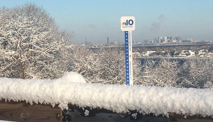
Daytime wind chill values will run about 10 degrees colder than our actual highs that near 30 degrees, then overnight lows dip to the teens for most under a cloudy sky.
STAY IN THE KNOW
Watch NBC10 Boston news for free, 24/7, wherever you are. |
|
Get Boston local news, weather forecasts, lifestyle and entertainment stories to your inbox. Sign up for NBC Boston’s newsletters. |
Our next snow-maker won't impact everyone in New England, but as of Thursday is located over the Northern Plains states and zipping east.
This disturbance will remain moisture-starved for most of its cross-country journey, with only a small amount of Gulf of Mexico moisture finally meeting it as it nears Pennsylvania overnight Thursday night. But as the system nears New England, it will pick up ocean moisture and the snow shield associated with the storm center will expand.
Where and when snow will fall in Mass., Conn., RI
The heaviest precipitation is expected to fall over the Mid-Atlantic states and ocean waters south of New England, but even being on the northern fringe of the storm will be sufficient for light snow Friday, starting as flurries Friday morning, then turning steadier and more widespread during the middle to late morning and lingering until evening, around or shortly after suppertime.
When all is said and done, very little if any snow will likely have fallen in central and northern New England, but the southern half of New England should pick up amounts ranging from a coating either side of the Massachusetts, Vermont, New Hampshire border, to an inch in northern Connecticut, Rhode Island and the Providence/Boston corridor, to as much as three or four inches in southeast Massachusetts – all of this sufficient to bring out road treatments for many and plows for some.

After the snow, the winter's coldest weather
Behind the storm, the coldest air so far this winter arrives Saturday. While that may not be saying much, it'll still have quite a wintry bite as it arrives with more clouds than sun, a steady northwest breeze and temperatures struggling to surpass 20 degrees with wind chill values rising from subzero in the morning to single digits at the warmest time of day.
On the Outer Cape, some ocean-effect snow showers are possible Saturday afternoon as cold air moves across the relatively warm ocean waters. By Sunday, sunshine will be abundant and temperatures rebound into the 20s with slightly less wind, then a continued rebound returns New England to near-normal temperatures in the 30s Monday.
Our First Alert Team expects a warmer-than-normal stretch to arrive the remainder of next week and though it likely won't quite feel like a spring fling with lots of clouds and periodic snow and rain showers, even temperatures in the 40s will be about 6 to 12 degrees above normal for the fourth week of January.