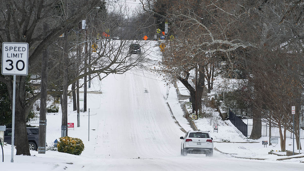
Over the course of the last few days, we’ve heard about more snow and ice from Texas to the mid-Atlantic, and snow with cold air from the Midwest to the Great Lakes.
Over the next two days, pieces of those disturbances – strung out and stretched across the eastern United States – will make their way across New England, resulting in piecemeal snow Thursday all the way through Friday night.
How much snow accumulates probably will end up like patchwork across southern New England, varying with snow intensity (fueled by varying wind direction and temperature, as well as specific track of disturbances aloft) and also with when heavier bursts of snow occur in any given community, with temperatures near the melting point and a sun angle commensurate with autumn meaning some warming of the roads and ground where snow isn’t already on the surface.
In the end, we believe most communities in southern New England will total around three to six inches of new snow on top of the old snow and somewhere between a coating to two inches in much of northern New England but higher amounts up to half a foot in the Green Mountains of Vermont.
As for the timing, our best estimate is this: steady snow for awhile Thursday afternoon into early evening from Connecticut to Rhode Island and southeast Massachusetts will make a push as far north as either side of the Massachusetts Turnpike, then put the brakes on.
Most of that snow should fall apart to flurries from dinnertime Thursday to midnight Thursday night, then start to fill in again and expand much farther north, into northern New England. From that point forward, pockets of snow, varying in intensity, will fall Friday into Friday night.
Most of the snow will be light Friday morning, but gradually as an onshore wind increases, more moisture will become available, and bursts of heavier snow will come into play, particularly in eastern Massachusetts during the afternoon into the evening.
With temperatures near the melting point and a sun angle – even if through the clouds – equivalent to October, treated roads will probably stay mostly wet, though where heavier bursts of snow develop they will, at times, overwhelm treatments.
Of course, slick spots are more likely whenever the sun is not up, so both early Friday morning and then again Friday evening and night stand out.
Snow wraps up gradually overnight Friday night, leaving more clouds than sun Saturday but sunshine Sunday as New England dries out for the weekend with chilly air holding high temperatures in the 30s and 20s north.
Winter Weather and the Coronavirus Pandemic
One more disturbance is slated for Monday – a combination of rain and snow showers with the greatest chance for some accumulation in northern New England – and that storm opens the door to a more moderate air, not only for New England but for much of the nation, with next week featuring a comeback of milder temperatures.
Here at home, this means a few days with daytime highs in the 40s in our exclusive First Alert 10-day forecast before cooling with a returning chance of rain and snow showers for the end of next week.


