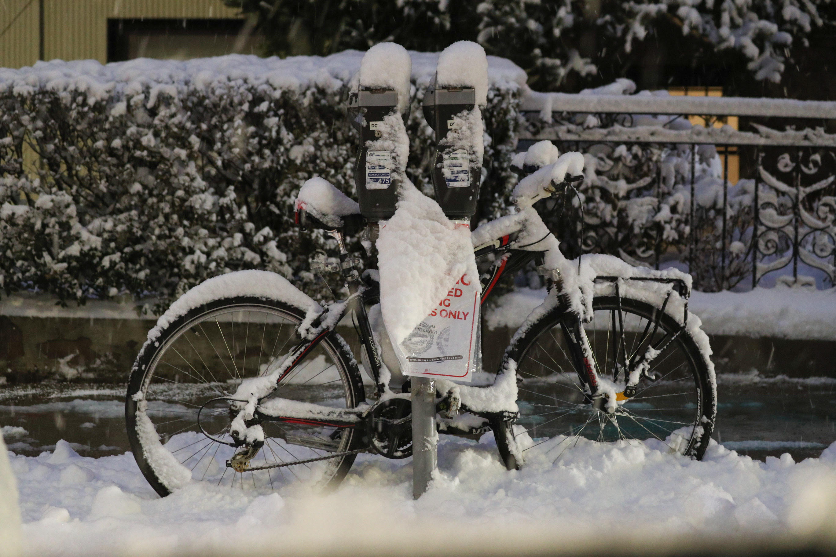
It wasn’t a lot of snow by New England standards, but the general two to four inch snow – with locally higher amounts – dropped enough to result in accidents on New England roads and highways through Wednesday morning.
As the temperature Wednesday rises, the number of slick spots falls, leading to vastly improved road conditions even as pockets of snow and rain showers continue through the day, tending to consolidate toward the coastline by Wednesday evening, where a few snow showers will continue overnight.
The wind is fairly light and temperatures in the 30s to around 40 Wednesday afternoon will drop below freezing overnight Wednesday night, so any snow showers may leave some fresh slick spots Thursday morning as snow showers slowly drift southeast, ending last on Cape Cod by midday.
Stubborn clouds and a strengthening northwest wind will ensure Thursday stays chilly, then even as clouds break Thursday evening, that will only be because of dry and cold arctic air surging south into New England, increasing the northwest wind and dropping the temperature steadily through the teens and into the single digits with the whipping wind driving wind chill values well below zero by dawn Friday.
Get Boston local news, weather forecasts, lifestyle and entertainment stories to your inbox. Sign up for NBC Boston’s newsletters.
Early Friday wind chill values of 20 degrees below zero will raise the concern of frostbite within 30 minutes for central and northern New England, and even afternoon wind chill values will struggle to reach zero north of the Massachusetts Turnpike.
It’s a quick shot of intense cold, so even this weekend won’t be nearly as stinging, but it’ll still be cold – and fair – Saturday and Sunday, with increasing clouds Sunday ahead of the next storm system moving east from the Ohio Valley and redeveloping along the Eastern Seaboard.
IMAGES: Overnight Snow Leaves Boston Looking Stunning
The redeveloping storm center seems likely to make a close enough pass to New England to bring at least some impact Monday and Tuesday with accumulating snow, and there’s enough moisture in this storm to break the plows out and drop over half a foot if it makes a close enough pass, so of course our First Alert weather team will watch this one closely.
Right now, it looks like the difference from past storms to this one is we’ll be seeing warmer air, not colder, behind the storm.
In fact, the air may warm enough in the second half of next week that another storm at the end of the week may end up rain rather than snow if all goes as it appears right now.