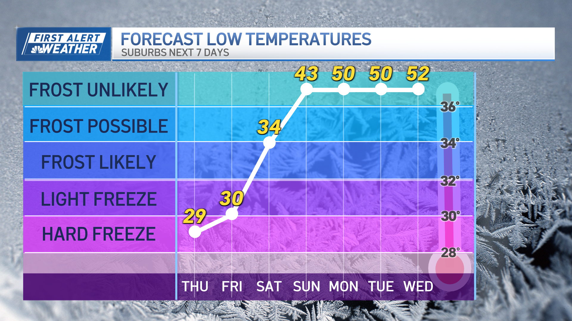
The week is starting quiet but chilly for New England, though our First Alert Team is keeping tabs on a powerful Friday storm that has already prompted the issuance of a First Alert from our weather team for wind and rain impacts.
For now, New England is on the front side of a sprawling dome of high pressure, extending from Central Canada across the Midwest, Great Lakes and much of the Eastern United States.
Although the northwest wind ahead of this fair weather dome is gusting to 30 mph at times Friday, creating a wind chill of 30 degrees or colder at even the warmest time of Monday afternoon, the air is dry and the sky will remain fair… not just Monday but for much of the week ahead of the late week storm.
From time to time Monday and Monday night, the Outer Cape will find varying clouds as cold air blow across the relatively warm ocean waters, creating some ocean-effect clouds, though most of those clouds will be found offshore with a northwest wind mostly blowing away from land. Tuesday’s breeze will be lighter than Monday, but still nippy, with gusts to 25 mph creating a wind chill in the 30s under mostly sunny skies, regionwide. By Wednesday, the wind will be light and variable, making a high near 40° under variable clouds actually feel like 40°, then the weather turns more active Thursday into Friday.
Get Boston local news, weather forecasts, lifestyle and entertainment stories to your inbox. Sign up for NBC Boston’s newsletters.
New England will find increasing clouds Thursday with highs in the 40s, 30s north, but two storm centers will be developing in the eastern half of the nation – one in the Midwest, and another along the Carolina Coast.
The two centers of low pressure are related, with the storm over the nation’s midsection the primary storm and the coastal storm a secondary development as atmospheric energy translates east, shifted by the strong jet stream steering winds aloft. As both storms strengthen, a shield of precipitation will expand for much of the eastern U.S., with rain causing Thursday afternoon flight delays from Atlanta through the Mid-Atlantic, and snow falling, blowing and drifting on the backside of the primary storm, from Tulsa, Oklahoma, to Duluth, Minnesota.
As both storms drift northeast overnight Thursday night into Friday, rain arrives to New England, starting as an overnight Thursday night burst of snow for Ski Country with a coating to three inches of snow before a change to rain even in the northern reaches of New England. As rain falls heavily at times Friday across New England, with widespread totals of one to two inches of rain with locally higher amounts, a mild southeast wind will increase.
Weather Stories
By later Friday, the southeast and south wind will increase to gust between 50 and 70 mph depending upon exposure and proximity to the immediate coast of New England, meaning not only will travel be significantly impacted Friday, but if this forecast verifies, power will be knocked out to tens of thousands of customers, at least, with regional numbers in the six figures possible. Of course, utility companies will need to prep for this storm in the coming days, given the proximity to the Christmas Holiday, which right now looks to be cold and fair, along with Christmas Eve Day, save for some snow showers in the mountains.
After the holiday, a nearby storm center Tuesday brings an increased chance of snow to New England, though it remains to-be-determined by our First Alert Team just how much this storm will organize as it makes its pass.


