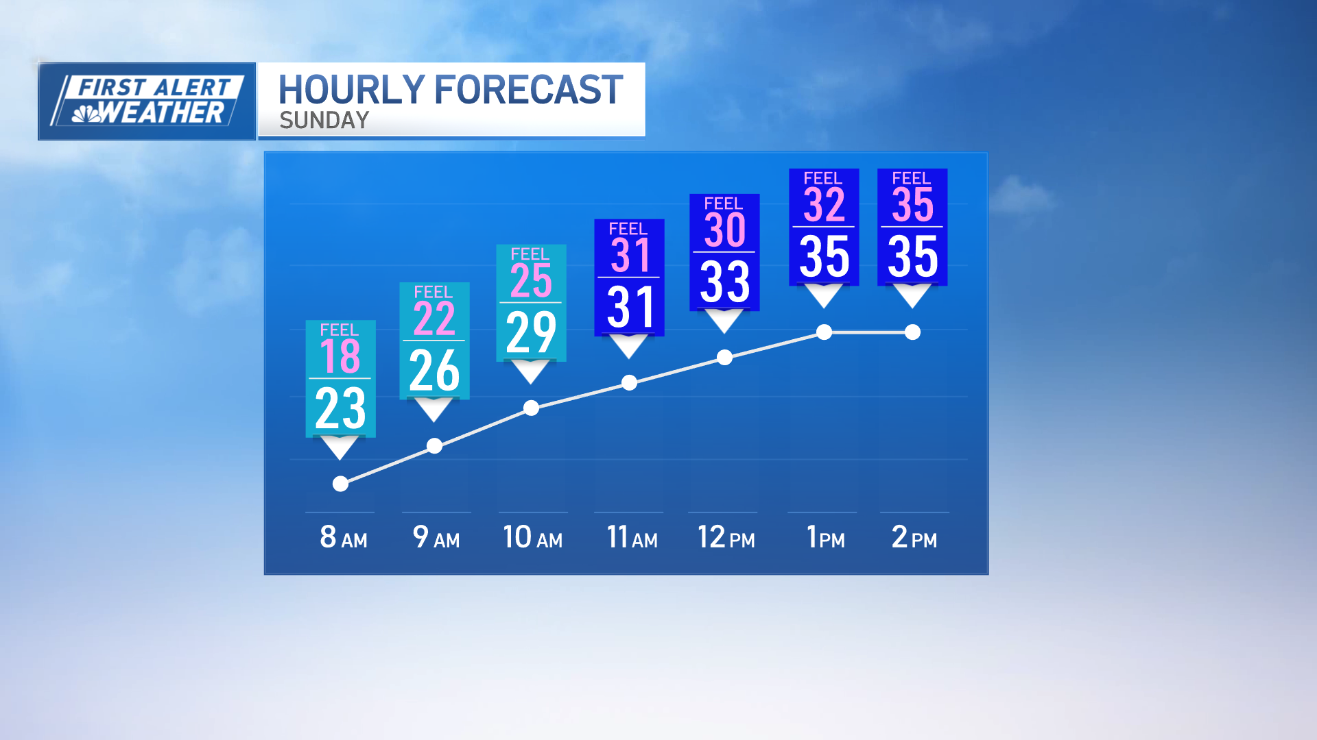
The sunny conditions we've enjoyed so far this weekend will continue.
In the morning we'll see higher elevations in the lower 50s, down towards the valleys in the lower 30s. A big ridge of high pressure over New England and the eastern seaboard will provide us with this fantastic stretch of weather, especially today into tomorrow, expecting temperatures in the 70s, lower 70s today across much of the area, with plenty of sunshine.
WATCH ANYTIME FOR FREE
>Stream NBC10 Boston news for free, 24/7, wherever you are. |
We may have a few high, thin, wispy clouds moving to the area, but it's looking fantastic, especially for the Head of the Charles in the lower 70s today.
A breeze out west at 10 miles per hour, stays warm into tomorrow, temperatures nudging close to 80 across the Merrimack Valley, even across the Connecticut River Valley tomorrow, and then on Tuesday, we have more of an onshore flow developing.
Get updates on what's happening in Boston to your inbox. Sign up for our >News Headlines newsletter.
Even into Wednesday, we turn to those winds more out of the southwest again, and temperatures jump back into the 70s, uniformly across the region.
It's not until Wednesday into Thursday, where we have a cold front that moves through and that will bring some gusty winds, a few showers with it, and bring us back to more seasonable temperatures once we get into Friday.
That warm stretch stays right through Wednesday, showers, return early Thursday, then back to reality on Friday.


