
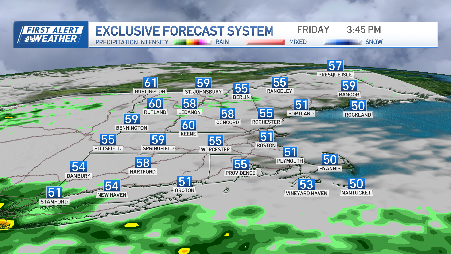
Overall, temps will be on the warm side Sunday afternoon with clouds and sunny breaks a few shows and rumbles of thunder can be expected over east-central New Hampshire and western Maine, eventually weakening as they trek closer to the coast later this afternoon.
Highs reach the low to mid 70s for most, few communities along the Connecticut River Valley may approach 80! Cooler with highs in the 50s along the south coast of New England, including the Cape and Islands as well as the mid to Downeast coast of Maine.

Another round of showers and storms passes through the region early tonight, most of which will be off the southern New England coastline by midnight with partial clearing overnight some patchy fog develops late. Lows in the upper 40s to low 50s.
Get Boston local news, weather forecasts, lifestyle and entertainment stories to your inbox. Sign up for NBC Boston’s newsletters.
Warm and dry Monday with a blend of sun and clouds. Highs are expected to reach the 70s once again inland. Along the coastline, a back door cold front will make its presence known by the late morning and into the early afternoon hours with temps there reaching the mid to upper 60s, plummeting back into the 50s once the northeast wind kicks in.

We stay on the unsettled side both Tuesday and Wednesday with cooler temps along the coast, mainly in the 50s, and milder temps in the 60s inland. A round of showers pushes through late Monday night into early Tuesday…another round arrives late Tuesday and exits early Wednesday. Warmer temps make a return by late in the work week which is featured on our Exclusive 10-Day forecast.
Weather

Have a great Sunday!
