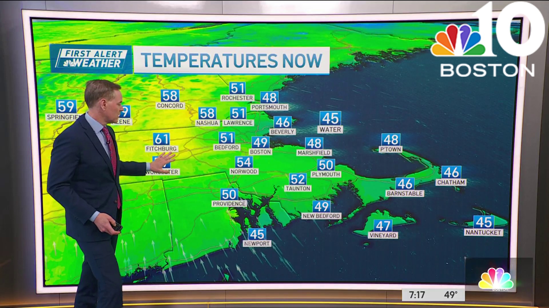
Cold start again. Before you say, "It's been so cold lately," keep in mind we're sitting at almost 6 degrees above normal for the month. Thursday was our first below normal day since the March 1.
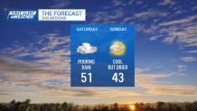
We'll swing back to the above normal spectrum for the part of the weekend, but it comes with a heavy rain. Right now, our storm is gathering strength (and water) as it lifts north from its origins in Texas and Louisiana.

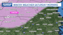
Wintry weather Saturday morning
Get Boston local news, weather forecasts, lifestyle and entertainment stories to your inbox. Sign up for NBC Boston’s newsletters.
Enough cold will be in place across parts of central Massachusetts and southern New Hampshire in the early part of the day to see some wintry mix for a couple of hours. Any accumulation will be minor. Thereafter, temperatures will rise as "milder" air works in from the south.
As a matter of fact, we'll close in on the low and mid 50s near the coast by afternoon. Gusts of wind are also a concern from Buzzards Bay to Cape Cod and the Islands. We could top 50 miles per hour at times late into the afternoon and evening.
All told, a solid 2+ inches of rain is coming our way. This will cause a rapid rise on the rivers and streams and lead to localized flooding through Saturday afternoon. The most intense rain seems to wait until later in the day, just as the storm center moves overhead.

More wet weather midweek
Weather
Sunday clears out after some morning clouds. The sun will work in from southern New Hampshire, but the temperatures are destined to be cool. Expect highs in the 40s. However, on Cape Cod, we'll struggle to see the sun as a persistent cloud deck hovers on the heels of a northerly wind over the Gulf of Maine. Highs here only make the upper 30s.
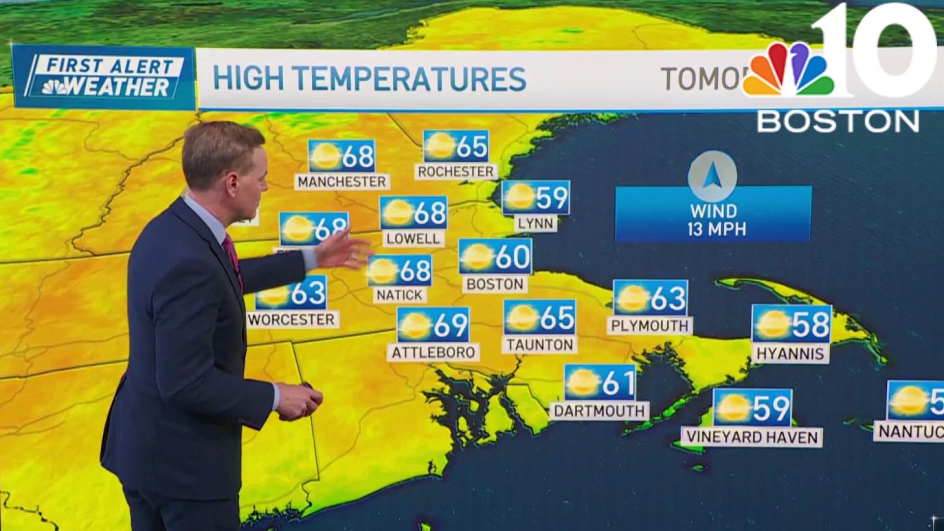
Another bright day on Monday before the clouds sweep in off the ocean during Tuesday. Expect more wet weather midweek and beyond.
Enjoy the weekend and be safe!


