
After just shy of three feet of snow in northern New England this weekend, cold air remains in place for most of our six-state region with a persistent northeast wind.
The cool wind flow is the product of a squeeze between high pressure — fair weather — over eastern Canada and a large low-pressure center — a storm — over the western Atlantic.
Even though it's several hundred miles away, that ocean storm is large enough to throw high-altitude clouds into the sky of eastern New England Monday, and will deliver lower clouds with a few showers by Tuesday.
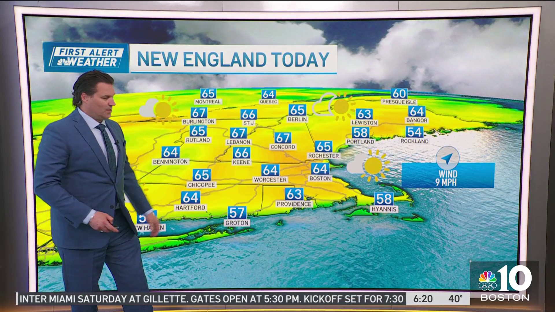
In the interim, the cool air across New England holds high temperatures near 40 degrees Monday afternoon with wind chill values closer to 30 degrees but the weather should be splendid for skiers, snowboarders and snowmobilers.
Get Boston local news, weather forecasts, lifestyle and entertainment stories to your inbox. Sign up for NBC Boston’s newsletters.
Of course, even if it's cool, that doesn't stop some of the typical spring phenomenon like pollen and brush fire danger. It's odd to think about brush fire danger so soon after weekend rain, but it doesn't take long to try out with no leaves on the trees or new brush growth, so moderate fire danger and moderate pollen count driven by maple are regionwide Monday.
Clouds lower and thicken Monday night with a few showers Tuesday, especially in the eastern half of New England, with central and northern New Hampshire into interior Maine cold enough for a few spots of very light freezing rain showers, though impact isn't expected to be significant.
Meanwhile, another storm over the nation's midsection is nudging east, but not able to get this far east until the ocean storm starts to move east, as well, which should happen by midweek, meaning a milder wind shift is possible in at least southern New England Monday afternoon with a few new showers passing through all of New England from time to time.
Weather

As the approaching storm from the west arrives with an attendant, slow-moving cold front Thursday and a new area of low pressure develops along that elongated front, draped up the Eastern Seaboard, rain is expected to become steadier and heavier for at least eastern New England.
As of this early juncture, we're still a bit uncertain of where the west edge of the rain shield will be, but it's quite possible Vermont sees far lighter precipitation, if any – if that's correct, skiing may be decent in Vermont and perhaps adjacent western New Hampshire Thursday, but it's early to say for sure.
Rain likely starts Friday in at least eastern New England before drier air arrives for the afternoon, giving way to fair weather for the Easter holiday weekend, though one disturbance aloft on Easter Sunday, itself, bears watching for a 20% chance of a shower from this far out.
It does look like showers return to the forecast for a while early next week in the exclusive First Alert 10-day forecast.
