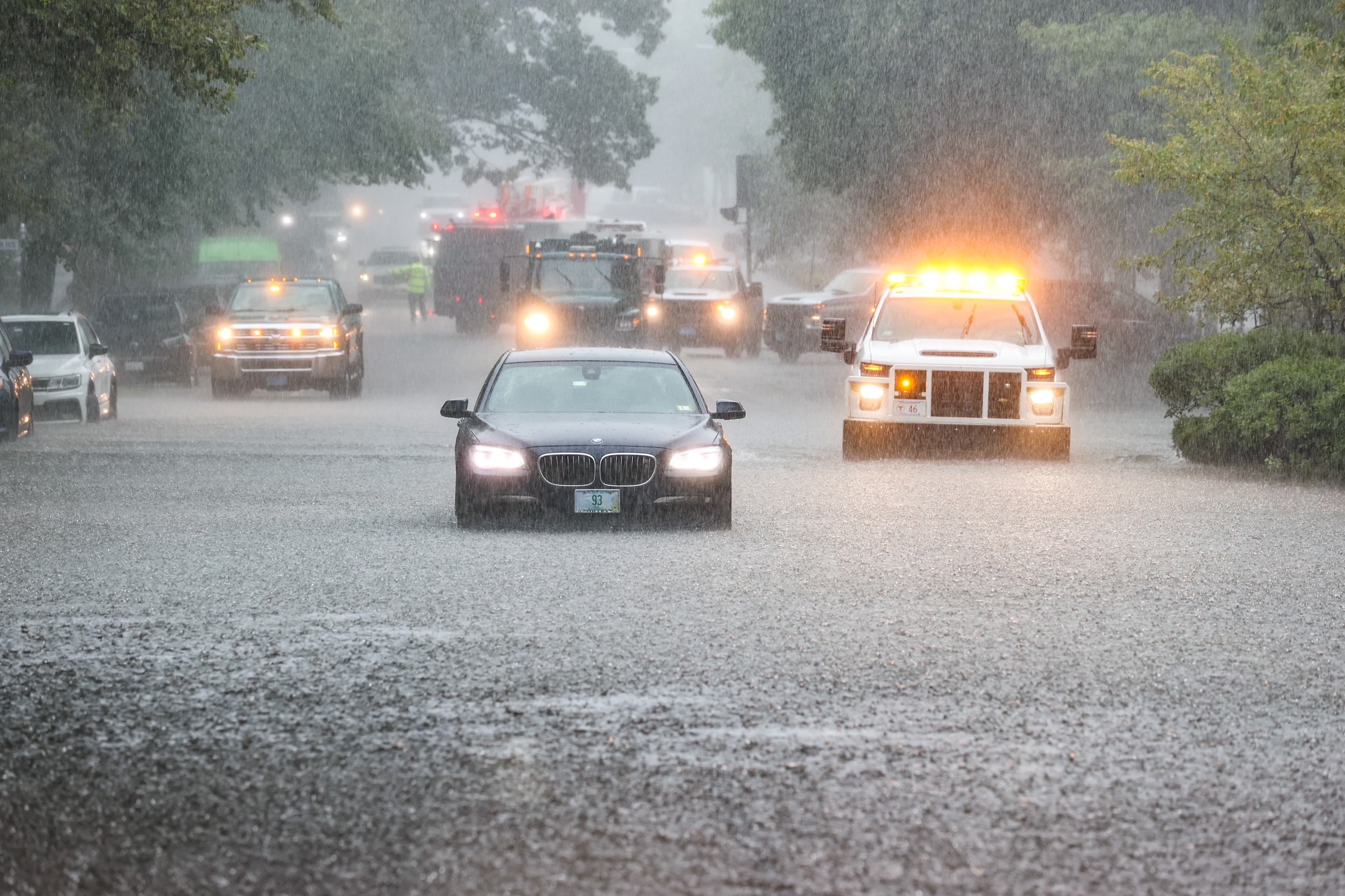
Dozens of Massachusetts communities were placed under tornado warnings on Tuesday amid widespread severe weather both in the Greater Boston area and around New England — and more severe weather is possible later in the week.
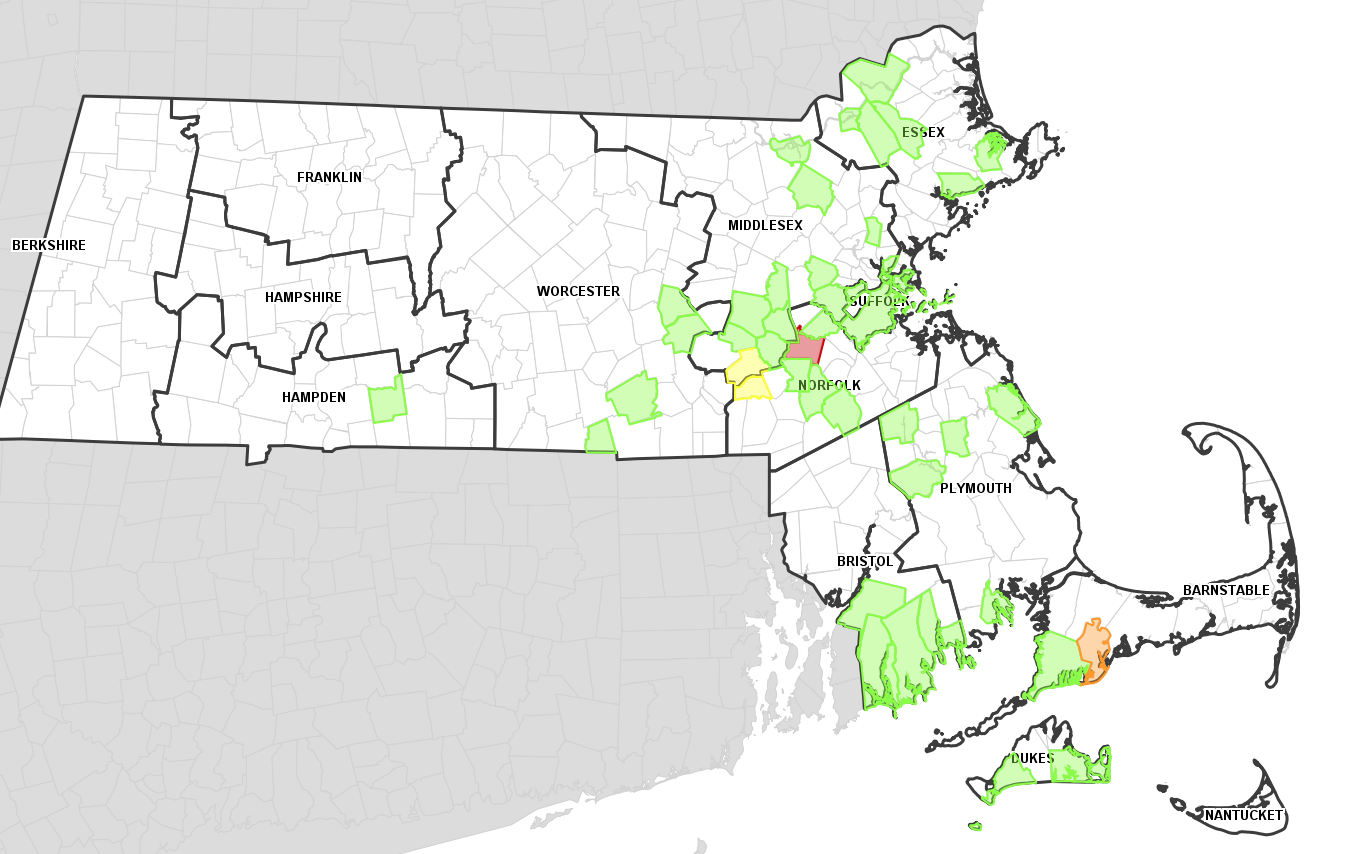
Two tornadoes touched down in the state Tuesday. The National Weather Service confirmed Tuesday afternoon that an EF-1 tornado touched down in Mattapoisett at 11:20 a.m. It was on the ground for three minutes, with winds estimated to be around 95 mph. It traveled for 0.9 miles and was as wide as 300 yards before it dissipated (or lifted off the ground).
A second tornado, this one an EF-0, was also confirmed in Barnstable, near the Marstons Mills village. That tornado started around 11:52 a.m. and lasted around four minutes, with wind speeds around 80 mph and was about 1.1 miles long.
Get Boston local news, weather forecasts, lifestyle and entertainment stories to your inbox. Sign up for NBC Boston’s newsletters.
There have been four tornadoes in Massachusetts this year, bringing the total to nine in New England.
Thousands of people were left without power in the wake of the storm and cars were stranded in flood waters across the region.
The storms early Tuesday fed off sultry humidity, with dew point temperatures in the 70s. More storms were possible – albeit more scattered in nature – through the early evening.
By Tuesday night, as the scattered leftover storms and showers weaken, humid air will still be in place, but a new wind will start blowing from the west-northwest, starting a slow and steady flow of less humid air.
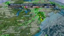
By Wednesday, the new air will be evident with sunshine and with a great feeling of pleasant air on a fresh breeze. This installment of pleasant air and fair weather will last into Thursday, until the next disturbance approaches New England from the west and is likely to spread new showers, rain and embedded thunder from west to east Thursday late day through night, departing Friday.
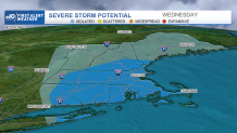
As of Tuesday, Thursday's storm threat didn't look as widespread nor as intense as Tuesday's in regards to flooding or tornadoes, but there could be some isolated severe storms with strong winds and/or torrential rain.
Great weather returns Friday and Saturday, then New England sets up a repetitive pattern of disturbances every two days or so, with a chance of scattered showers or thunder on Sunday, Tuesday and Thursday of next week, though the air looks to remain seasonable with high temperatures each day at or over 80 degrees for many. The only wild card is if disturbances come closer in spacing, which would could result in a cooler day of clouds and showers somewhere in next week’s forecast, but right now we don’t see that as likely.