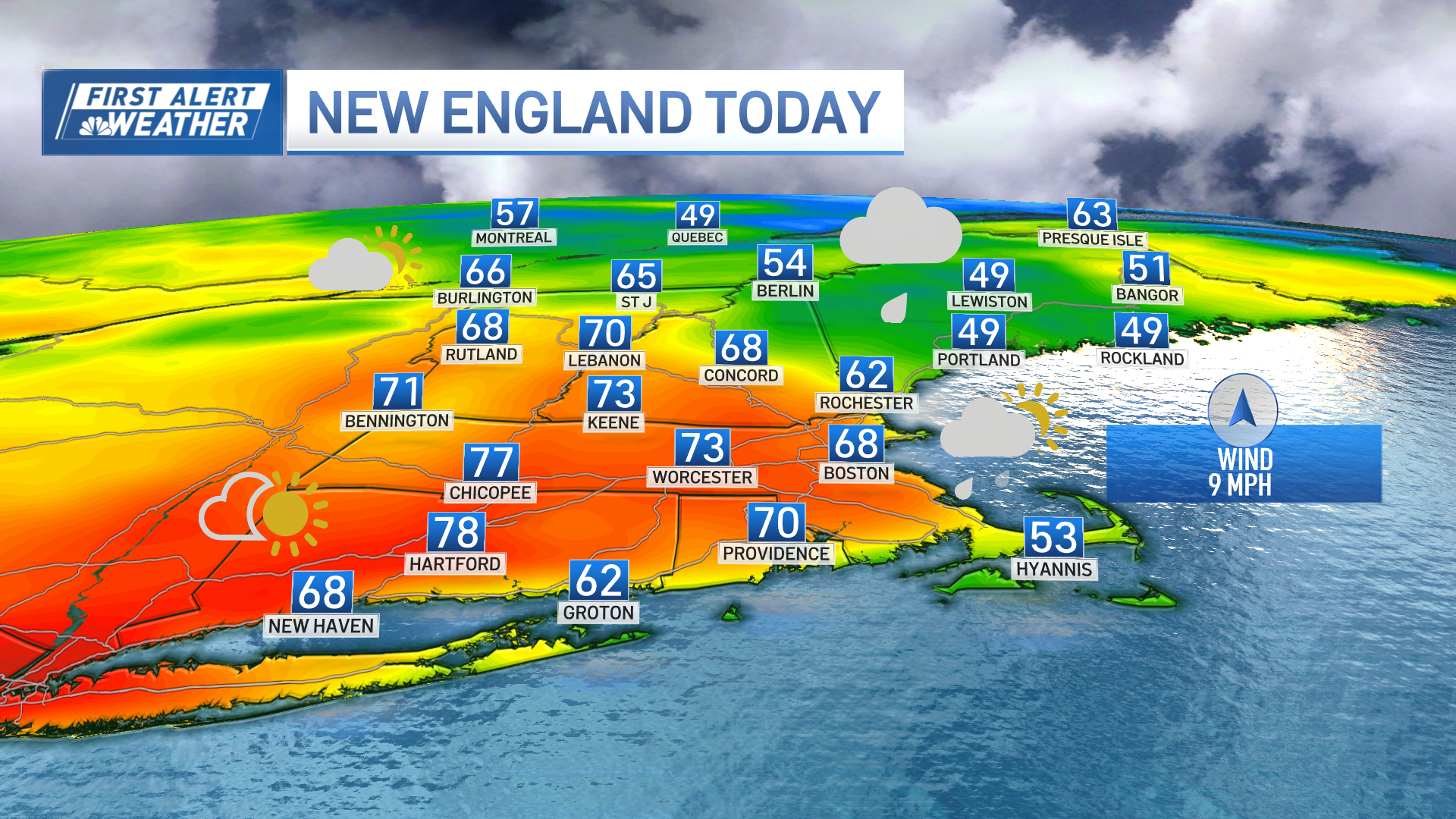
Sunday's highs in the 60s had many wondering if this was the start of another autumn warm spell. But just like that, the winds of change sent a cold front through the region by late afternoon, and we were in a temperature tailspin as the sun dropped below the horizon (4:30-ish these days).
We're closer to November reality on Monday as highs struggle to make 50. A great portion of the blame goes to the onshore wind and the thick cloud cover through the day.

Tuesday will spring back to life with a gusty southwest wind boosting us in the 60s. This time, the sun will have the upper hand. It's even conceivable that some spots close in on 70 thanks to this mild airmass! Here too, it’s a one-off proposition. Colder air will rush back to the region on Wednesday, plummeting us to the 40s, and setting the stage for the next weather system on Thursday.
Get Boston local news, weather forecasts, lifestyle and entertainment stories to your inbox. Sign up for NBC Boston’s newsletters.
There may be enough cold around with this quick-moving storm system to give us some brief mix in the morning Thursday. Primary focus for that will be throughout central Massachusetts, but even southern New Hampshire could see some sleet at the very start of the event.

Warm air won't sneak in this time around, however, as we remain stuck in the 40s during the afternoon.
Weather Stories
Pretty active weather week overall. Enjoy your Monday.


