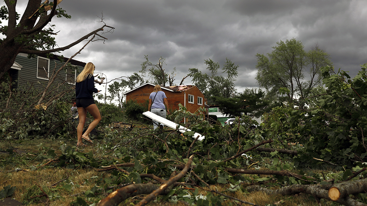
Severe thunderstorm warnings were issued for parts of the Boston area, southeast Massachusetts and Rhode Island Tuesday afternoon.
See severe weather alerts for your area here.
Areas of rain, a few downpours and perhaps some embedded thunder in southeast Massachusetts are expanding through the evening, bringing about a tenth to a half inch of rain in spots, and up to 1 inch in far eastern Maine.
It's part of a cold front that's sweeping through the region Tuesday, marking the leading edge of a fresh airmass that will move into New England.
Get Boston local news, weather forecasts, lifestyle and entertainment stories to your inbox. Sign up for NBC Boston’s newsletters.
The wet weather will taper from west to east either side of midnight, with gradual clearing to follow. Dewpoints will continue to drop behind the front, courtesy of a northwest wind dragging in the brand new air.
That sets up a splendid couple of June days for Wednesday and Thursday. Expect ample sun, low humidity and highs in the middle to upper 70s.
Friday will feature more clouds, and even a few spotty showers are possible, but it won’t be a washout.
Warmth and humidity build back in for the weekend and will stick around for much of next week. Temperatures will climb well into the 80s, and even touch 90 a few days next week.
A stalled front near northern New England next week, combined with the heat and humidity, will fuel daily pop-up thunderstorms, hit or miss in variety. Classic summer weather as we flip the calendar to July.


