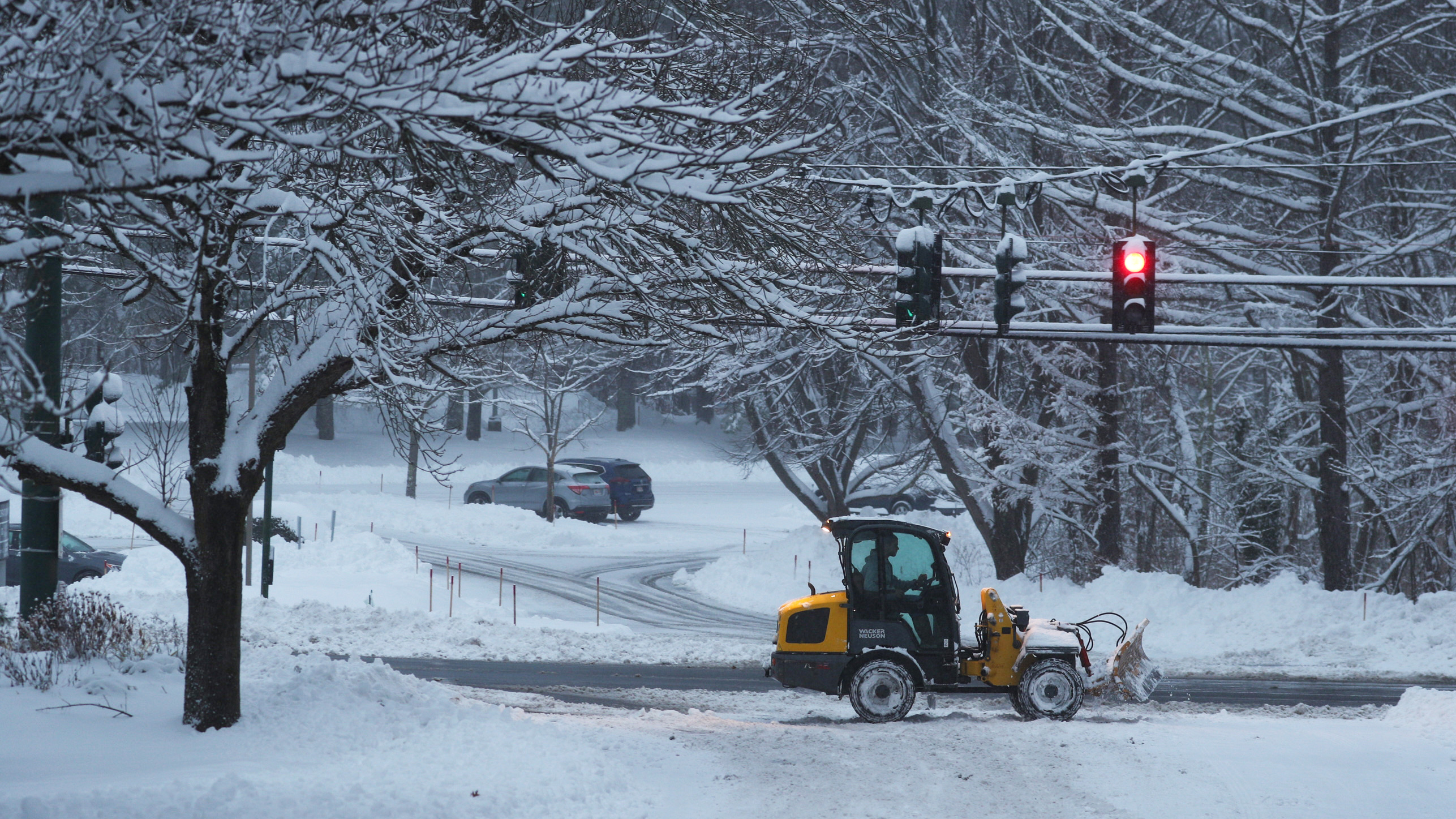
More snow is developing Wednesday night as New England's temperatures begin to drop and head toward the 20s and low 30s, allowing for more wintry precipitation.
While Maine has received the highest amount of snow so far, snow showers will move into western Massachusetts Wednesday evening, along with Vermont, New Hampshire and more in Maine. Some snow flurries might sneak their way into Connecticut, Rhode Island and southeastern Massachusetts.
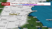
Total snowfall amounts remain from a coating to 2 inches in the south, while in the north we’ve got varying amounts -- in Vermont, we could be watching up to 3 inches, but in Maine, the coastline is ramping up those number from 3 to 6 inches over Washington County, where a winter weather advisory will remain in place through 9 a.m. Thursday.
Get Boston local news, weather forecasts, lifestyle and entertainment stories to your inbox. Sign up for NBC Boston’s newsletters.
Reduced visibility will come with these snow showers and slick conditions may also be a concern on untreated roads. We may also watch out for some black ice Thursday, morning but while Thursday will be mostly sunny, temperatures will increase into the upper 30s and low 40s and we’ll have more melting.
Thursday should remain dry, with a few snow flurries in the northern states on Friday, and we’ll be getting ready to make a jump in the thermometer Saturday.
By then, our temperatures will climb into the upper 50s and 60s, and we’ll be watching for rain, strong wind gusts and possibly storms developing on Saturday afternoon.
While Saturday is looking to be a washout of a day, Sunday will fortunately be dry, although cooler.
Milder temperatures and drier conditions will dominate next week, with above-average temperatures and mostly sunny skies for most of the work week.
A coating to an inch or so is expected for much of the area except along the immediate coast and in the southeast. The main concern will be wet roadways freezing up, especially the secondary, untreated roads after sunset Wednesday evening.