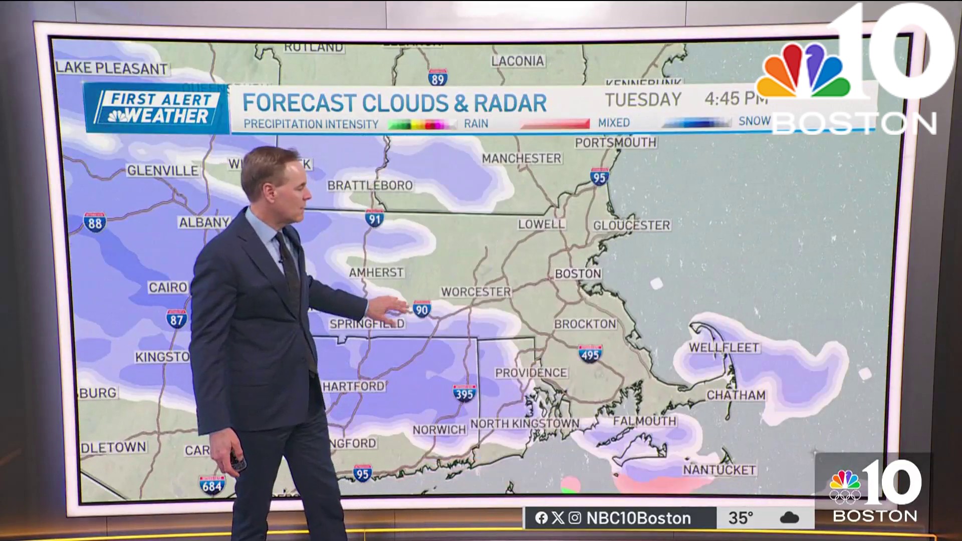
A series of gloomy days are looming as we forge ahead in this warmup. Tuesday is quiet for the most part at least until we get to the late afternoon and evening.
Light snow is part of the first round of precipitation. This is minor, and many should see small accumulations with a spotty, light pacing Tuesday night and very early Wednesday morning. Wednesday we'll see sporadic light mix as we await the second leg of this storm system to arrive at the tail end of the week.

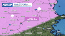
Thursday and Friday are just plain wet. There may be enough cold air still lingering in northern Massachusetts and southern New Hampshire, however, to give us a little light sleet or freezing rain early on Thursday.
Get Boston local news, weather forecasts, lifestyle and entertainment stories to your inbox. Sign up for NBC Boston’s newsletters.
We should shake out most of it by Thursday afternoon, but this setup is tricky.
Numbing air will be just to our north in northern Maine. Like well below zero kind of cold. This will embolden our chill in southern New England and make it more difficult to dislodge later this week.
The end result is that our high temperatures could be stymied as we stay in the 30s and 40s right through Friday. Something we'll clearly be watching tomorrow and Thursday.
We'll see a pause in the busy pattern on Saturday, but a stronger storm will take a swipe at us on Sunday.
Temperatures are still marginal for cold, but it wouldn't take much to switch us to snow in this setup.
The storm track is to our south and there's another batch of very cold air sinking down from the north. Unfortunately, nothing seems like a slam dunk in the forecast this week.