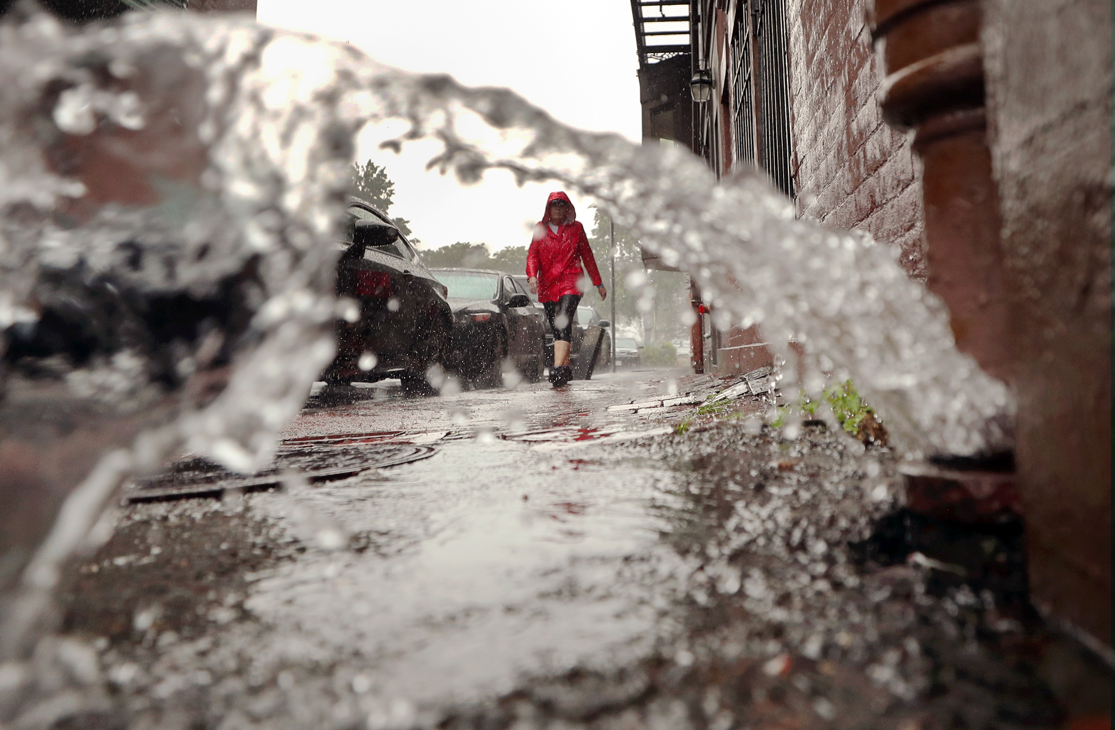
A warm front is determined to bring more showers into the region late Sunday afternoon and evening. With more rain -- potentially torrential -- on its way to New England, a flash flood watch went into effect 8 p.m. Sunday for parts of Massachusetts, New Hampshire, Rhode Island and Vermont, and all of Connecticut -- expiring Monday evening into Tuesday morning.
The watch covers all or parts of the following counties in Massachusetts: Suffolk, Bristol, Plymouth, Norfolk, Worcester, Middlesex, Hampden, Hampshire, and Essex.
STAY IN THE KNOW
Watch NBC10 Boston news for free, 24/7, wherever you are. |
|
Get Boston local news, weather forecasts, lifestyle and entertainment stories to your inbox. Sign up for NBC Boston’s newsletters. |
In New Hampshire, the watch applies to these counties: Rockingham, Cheshire, Hillsborough, Strafford, Sullivan, Merrimack and Belknap.
The watch was expanded to cover the entire state of Connecticut.
329 medal events. 32 sports. Endless drama. Catch all the action at the Paris Olympics. Sign up for our free Olympics Headlines newsletter.
In Rhode Island, Kent and Providence counties are affected.
The watch also applies to Windham and Bennington counties in Vermont.
Showers will overspread these counties Sunday night, with rain coming down heavy at times. Total rainfall is expected to range from 1 to 2 inches, with locally higher amounts possible, the National Weather Service said.
The ground is already wet from recent rainfall and the expected heavy rainfall may cause localized flash flooding especially in urban and poor drainage areas. Some smaller streams may quickly rise out of their banks, NWS added.
Click here for active NECN Weather Alerts
Click here for active NBC Boston Weather Alerts
The direction of flow is from the southwest to the east, and middle portions of Vermont as well as New Hampshire will receive the heaviest amounts of precipitation.
Monday morning, torrential rainfall is expected along southern New Hampshire and northern Massachusetts. Expect rainfall amounts to add up to 1.5 to 2.5 inches in most affected areas.
Brief dry conditions may return after sunset. Temperatures will prevail in the low 70s Monday and Tuesday, bumping up to the 80s from Wednesday to Saturday.
It will be humid and hot. Expect sticky afternoons for outdoor activities with high dew points taking over and isolated thunderstorms with daytime heating.
Drive safely Monday. Remember, don't cross flooded roads.