
Not one, not two, but three chances for snow in New England over the next seven days, starting today.
We’re calling Sunday's snowfall a minor to moderate impact event. Think of it as a brunch to bedtime storm.
We are waking up to clouds, but dry weather. Snow will quickly pick up in intensity by brunch and continue through the afternoon eventually tapering off between dinner and bedtime.
If you’re needing to be on the road early Monday, maybe break out the snow blower or shovel after dinner so you don’t have as much to do in the morning.
This afternoon, 1-2” per hour snowfall rates will be possible. Avoid travel during the afternoon and evening. Inside of Route 3 and for the Cape and the Islands, rain is possible and if we manage to stay all snow, the snow will be very slow to accumulate.
Our general rule of thumb is for every 1” of rain we get 10-12” of snow, but where it’s warmer, those ratios can drop to 5” of snow for every inch of rain.

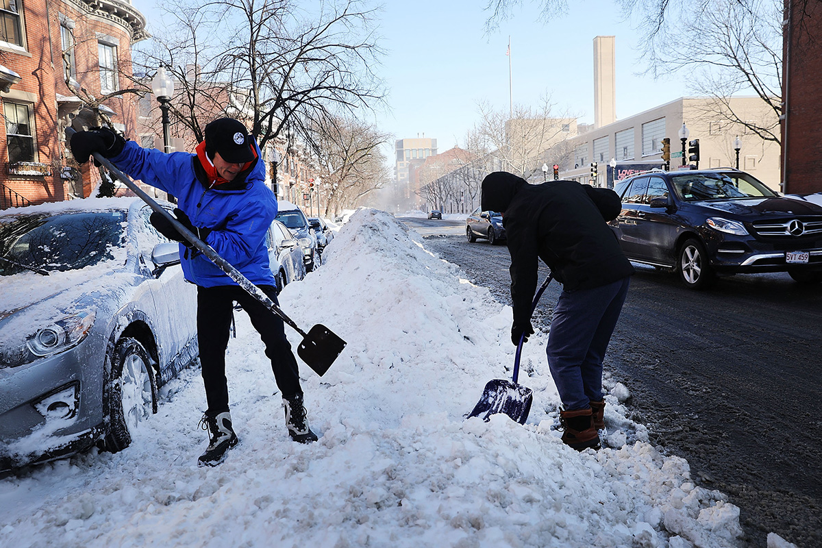
Remember the last snow event? We had a handful of inches at the coast, but northwest of Boston, some areas were buried by two feet of snow.
Once this storm moves out, it’s cold and quiet on Monday.
More on Snow in Massachusetts

Another quick light snow event will be possible by Tuesday.
Wednesday into Thursday look to be quiet with another storm system possible by Friday.
We’re certainly in an active pattern and it doesn’t look to change any time soon.
