An approaching warm front will lift into the northeast this morning and throughout the day. Our south wind will increase a bit, becoming gusty in southern New England. This will help to transport increasing humidity and warmth our way.
Highs will still be in the 70s, but it will feel warmer with more mugginess.
Clouds and scattered showers from this morning may not completely clear out for the afternoon, so there isn't as much instability to work with by evening. This means the thunderstorm threat will be isolated, with a couple strong storms in western New England only as the cold front moves through. Lightning and heavy rainfall will be the main threats from anything that develops today.
Get Boston local news, weather forecasts, lifestyle and entertainment stories to your inbox. Sign up for NBC Boston’s newsletters.
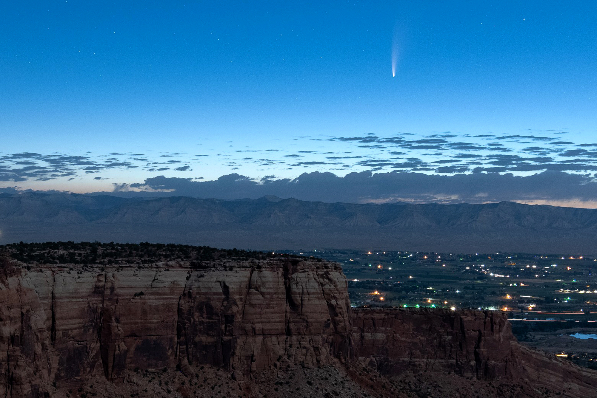
The next several nights, the comet NEOWISE will still be visible in the northwestern sky, pretty low to the horizon, but rising a little higher each night through July 25. The best way to view is away from any trees or buildings and city lights, and with binoculars. Look for the big dipper and look below and to the right. Meanwhile in the southern sky, you can see Jupiter and Saturn.
This weekend we will have lots of heat and humidity. Highs reach the low 90s both Saturday and Sunday. Heat index values reach the mid to upper 90s, especially on Sunday. We may have a heat wave in a few cities through next week.
The heat and humidity will be brutal through Tuesday. Storm chances return for Monday, and also on Wednesday. There is a short break from the humid air midweek next week, but then the humidity returns and we heat up again into the following weekend.