A severe thunderstorm capable of damaging trees and power lines moved through northern Maine Friday afternoon.
See severe weather alerts for your area here.
STAY IN THE KNOW
Watch NBC10 Boston news for free, 24/7, wherever you are. |
|
Get Boston local news, weather forecasts, lifestyle and entertainment stories to your inbox. Sign up for NBC Boston’s newsletters. |
Otherwise, Friday was another wonderful day across New England, after starting out with clouds and areas of drizzle. This afternoon we are left with a mix of clouds and sun, plus summer-like temperatures: Highs in the 80s and a few 90s inland while cooler at the South Coast due to a southerly flow.
Most of us won’t need to dodge showers and it will be a pleasant evening for outdoor dining, except some communities in the North Country that may see a few showers this evening and tonight.
Get top local stories in Boston delivered to you every morning. Sign up for NBC Boston's News Headlines newsletter.
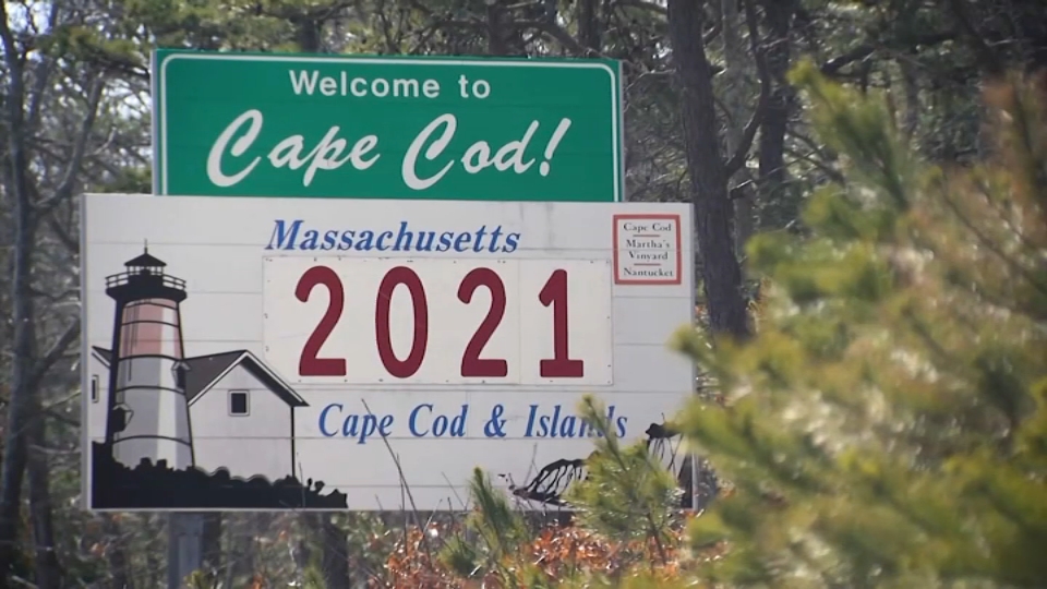
A disturbance will drop down from Canada tonight and it will trigger a few showers overnight and tomorrow morning across eastern New England, with areas of showers and patchy fog lingering around Cape Cod and Islands Saturday morning.
This weekend we are back to the pattern we had last week, where disturbances aloft will ignite scattered showers and possible thunder during the afternoon as we get into daytime heating with temperatures soaring into the 80s. The gradual but steady increase in moisture will mean more clouds than sun Saturday, with scattered showers and thunder likely to develop from north to south Saturday afternoon and evening.
Ahead of the cold front Sunday, we will experience an increase in humidity and warmth, meaning mid to upper 80s with a few 90s by afternoon, though it will be in the 70s north as the cold front begins to slide south. Scattered showers and thunder are possible again Sunday afternoon, with a slight chance a few storms may be strong.
Behind the cold front, it will be noticeably cooler and less humid too. Highs in the 60s to around 70 on Monday will make it feel more like spring.
The cooldown will be short-lived though -- by mid-week, warmth, humidity and a chance of storms will build again, before another cold front clears the air Thursday for a pleasant start to the Memorial Day weekend at the end of our exclusive First Alert 10-day forecast.